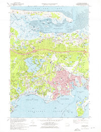
1974 Map of Hyannis
USGS Topo · Published 1976About this map
The coastal village of Barnstable and the busy hub of Hyannis anchor this mid-1970s survey of the Cape Cod midsection. The landscape is defined by the sharp contrast between the salt marshes of Great Marshes along Barnstable Harbor and the densely settled residential grids to the south. Transportation networks are prominent, featuring the Penn Central railroad corridors and the expansive Barnstable Municipal Airport. Local institutions like Cape Cod Hospital and the Cape Cod Community College reflect the area's development as a regional center during this era.
Find a feature on this map
138 named features on this map. Tap any name to fly to it.
Don’t see what you’re looking for? This feature index may not catch every label — zoom into the map to look around manually.
Map Details
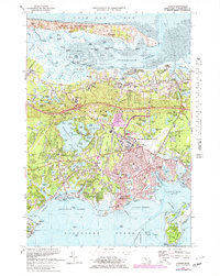
Editions of this 1974 Hyannis Map
2 editions found
Other maps of this area

1887 · Yarmouth
USGS Topo · 1:62,500

1888 · Barnstable
USGS Topo · 1:62,500

1889 · Yarmouth
USGS Topo · 1:62,500

1893 · Yarmouth
USGS Topo · 1:62,500

1893 · Barnstable
USGS Topo · 1:62,500

1938 · Sandwich
USGS Topo · 1:31,680
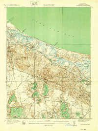
1939 · Sandwich
USGS Topo · 1:24,000
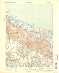
1940 · Sandwich
USGS Topo · 1:31,680
1941 · Cotuit
USGS Topo · 1:31,680

1942 · Cape Cod Bay
USGS Topo · 1:125,000