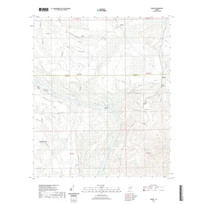
2020 Map of Hybart
USGS Topo · Published 2020About this map
Alabama River currents define this corner of the Black Belt, where the water bends around Steins Island and the shoals of Saint James Bar. The landscape is a mix of lowland river bottoms and rising hills, marked by scattered rural settlements like Hybart, Asahel, and Tinela. For family historians, the sheet is exceptionally dense with burial sites, including the Pine Flat Baptist Church Cem, McCarty Cem, and Powell Cem. Local transit is anchored by a network of rural routes such as Bell Landing Rd and Coy Cemetery Rd, connecting the small communities to the river's edge at Packards Bend. The presence of several named creeks, including Tallatchee Cr and McCloud Creek, illustrates the complex drainage system feeding into the Alabama River during this era of rural development.
Find a feature on this map
55 named features on this map. Tap any name to fly to it.
Don’t see what you’re looking for? This feature index may not catch every label — zoom into the map to look around manually.
Map Details
Editions of this 2020 Hybart Map
This is the sole edition of this map. No revisions or reprints were ever made.
Other maps of this area

1953 · Andalusia
USGS Topo · 1:250,000

1957 · Andalusia
USGS Topo · 1:250,000

1972 · Natchez
USGS Topo · 1:24,000

1972 · Franklin
USGS Topo · 1:24,000

1972 · Chance
USGS Topo · 1:24,000

1973 · Coy
USGS Topo · 1:24,000

1973 · Hybart
USGS Topo · 1:24,000

1973 · Pine Hill
USGS Topo · 1:24,000

1973 · Camden South
USGS Topo · 1:24,000

1973 · Lower Peach Tree
USGS Topo · 1:24,000