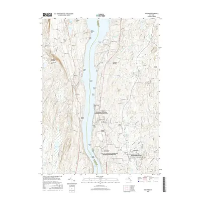
2016 Map of Hyde Park
USGS Topo · Published 2016About this map
The Vanderbilt Mansion National Historic Site and the Home of Franklin D Roosevelt National Historic Site anchor this stretch of the Hudson River, illustrating the Gilded Age and presidential history of the Hudson Valley. The landscape transitions from the riverbank bluffs and points like Norrie Point and Crum Elbow Point to the inland residential centers of Hyde Park, Staatsburg, and Haviland.
Find a feature on this map
172 named features on this map. Tap any name to fly to it.
Don’t see what you’re looking for? This feature index may not catch every label — zoom into the map to look around manually.
Map Details
Editions of this 2016 Hyde Park Map
This is the sole edition of this map. No revisions or reprints were ever made.
Other maps of this area

1893 · Poughkeepsie
USGS Topo · 1:62,500

1894 · Poughkeepsie
USGS Topo · 1:62,500

1898 · Rhinebeck
USGS Topo · 1:62,500

1901 · Rosendale
USGS Topo · 1:62,500

1903 · Poughkeepsie
USGS Topo · 1:62,500

1903 · Newburg
USGS Topo · 1:62,500

1903 · Rosendale
USGS Topo · 1:62,500

1934 · Rhinebeck
USGS Topo · 1:48,000

1936 · Poughkeepsie
USGS Topo · 1:48,000

1939 · Rhinebeck
USGS Topo · 1:62,500