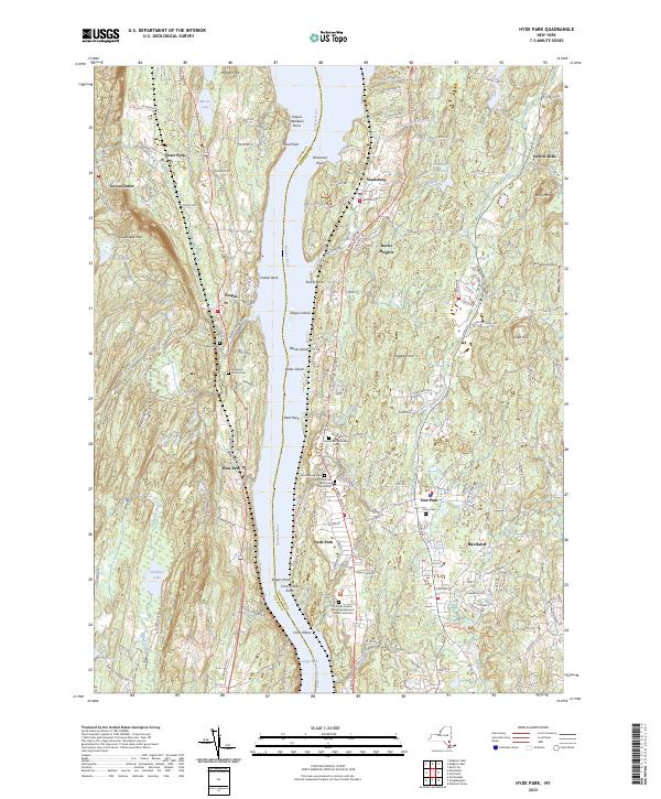
2023 Map of Hyde Park
USGS Topo · Published 2023About this map
The Hudson River serves as the central artery for this region, dividing Ulster Co and Dutchess Co while shaping the development of riverside communities. On the eastern shore, the village of Hyde Park and its surrounding hamlets like Staatsburg and Haviland exhibit a landscape deeply marked by early American heritage and estates. This legacy is anchored by the Franklin Delano Roosevelt National Historic Site Cem and several historic burial grounds, including the Saint James Episcopal Cem and Stoutenburgh Cem.
Find a feature on this map
175 named features on this map. Tap any name to fly to it.
Don’t see what you’re looking for? This feature index may not catch every label — zoom into the map to look around manually.
Map Details
Editions of this 2023 Hyde Park Map
This is the sole edition of this map. No revisions or reprints were ever made.
Other maps of this area

1893 · Poughkeepsie
USGS Topo · 1:62,500

1894 · Poughkeepsie
USGS Topo · 1:62,500

1898 · Rhinebeck
USGS Topo · 1:62,500

1901 · Rosendale
USGS Topo · 1:62,500

1903 · Poughkeepsie
USGS Topo · 1:62,500

1903 · Newburg
USGS Topo · 1:62,500

1903 · Rosendale
USGS Topo · 1:62,500

1934 · Rhinebeck
USGS Topo · 1:48,000

1936 · Poughkeepsie
USGS Topo · 1:48,000

1939 · Rhinebeck
USGS Topo · 1:62,500