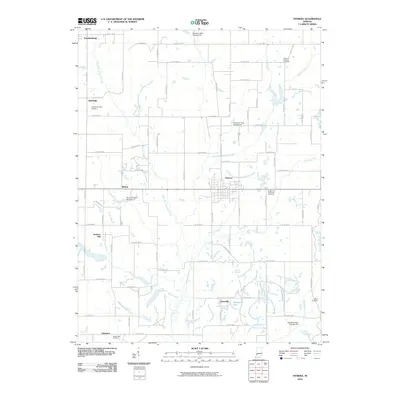
2010 Map of Hymera
USGS Topo · Published 2010About this map
Hymera and the surrounding coal-country landscapes of Sullivan County appear here during a period of modern water management and established rural infrastructure. The terrain is defined by the branching paths of West Fork Busseron Creek and East Fork Busseron Creek, which are regulated by several engineered structures including Busseron Dam Number G-5 and Busseron Dam Number I-2. These dams and the presence of Greenbriar Lake illustrate the complex hydrology of the region.
Find a feature on this map
69 named features on this map. Tap any name to fly to it.
Don’t see what you’re looking for? This feature index may not catch every label — zoom into the map to look around manually.
Map Details
Editions of this 2010 Hymera Map
This is the sole edition of this map. No revisions or reprints were ever made.
Other maps of this area

1908 · Clay City
USGS Topo · 1:48,000

1910 · Clay City
USGS Topo · 1:62,500

1940 · Lewis
USGS Topo · 1:24,000

1940 · Linton
USGS Topo · 1:24,000

1940 · Jasonville
USGS Topo · 1:24,000

1940 · Pimento
USGS Topo · 1:24,000

1942 · Shelburn
USGS Topo · 1:24,000

1943 · Hymera
USGS Topo · 1:24,000

1943 · Sullivan
USGS Topo · 1:24,000

1943 · Dugger
USGS Topo · 1:24,000