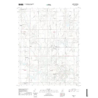
2019 Map of Hymera
USGS Topo · Published 2019About this map
Hymera and its grid of residential streets like W Jackson St and E Depot St form the central hub of this eastern Sullivan County landscape. The terrain is defined by the complex drainage systems of Busseron Creek and its many branches, including the W Fork Busseron Cr and E Fork Busseron Cr. These waterways carve through a rural region marked by small clusters of settlement such as Jackson Hill and Glendora.
Find a feature on this map
59 named features on this map. Tap any name to fly to it.
Don’t see what you’re looking for? This feature index may not catch every label — zoom into the map to look around manually.
Map Details
Editions of this 2019 Hymera Map
This is the sole edition of this map. No revisions or reprints were ever made.
Other maps of this area

1908 · Clay City
USGS Topo · 1:48,000

1910 · Clay City
USGS Topo · 1:62,500

1940 · Lewis
USGS Topo · 1:24,000

1940 · Linton
USGS Topo · 1:24,000

1940 · Jasonville
USGS Topo · 1:24,000

1940 · Pimento
USGS Topo · 1:24,000

1942 · Shelburn
USGS Topo · 1:24,000

1943 · Hymera
USGS Topo · 1:24,000

1943 · Sullivan
USGS Topo · 1:24,000

1943 · Dugger
USGS Topo · 1:24,000