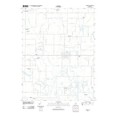
2022 Map of Hymera
USGS Topo · Published 2022About this map
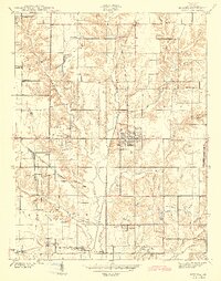
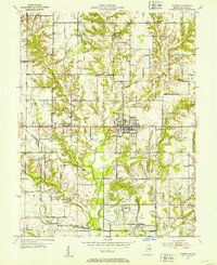
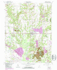
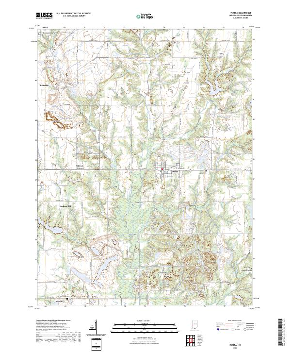
Hymera serves as the central hub for this portion of Sullivan County, where a dense grid of residential streets including E Hinkle St and E Depot St meets the rural agricultural landscape. The surrounding terrain is defined by the complex drainage systems of the W Fork Busseron Cr and Kettle Creek, which meander through a patchwork of woodland and cleared fields. For those researching local heritage, several burial grounds are scattered across the quadrangle, notably the Knights of Pythias Cem and the Mount Pleasant Cem to the north. Smaller settlements like Greenville, Jackson Hill, and Wilfred mark the historical junctions of county roads. The southern portion of the sheet is characterized by more intricate topography near Greenbriar Lake and the interestingly named Possum Hollow, reflecting the region's rural character.
Find a feature on this map
58 named features on this map. Tap any name to fly to it.
Don’t see what you’re looking for? This feature index may not catch every label — zoom into the map to look around manually.
Map Details
Editions of this 2022 Hymera Map
This is the sole edition of this map. No revisions or reprints were ever made.
Historical Maps of Farmersburg Through Time
8 maps found