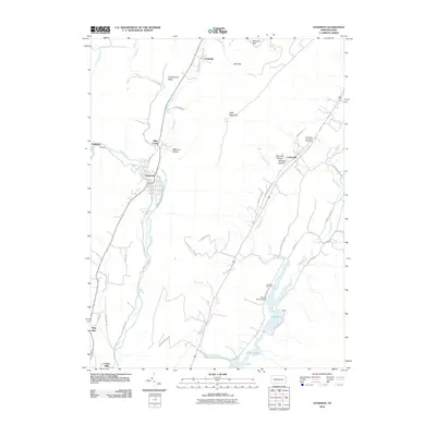
2010 Map of Hyndman
USGS Topo · Published 2010About this map
Hyndman occupies a central position in this Bedford County landscape, where the confluence of Wills Creek and Little Wills Creek meets a network of local thoroughfares like Hogback RD and Sand Springs RD. The geography is defined by the steep rise of Wills Mountain to the east and Coughenour Ridge to the northwest, creating a valley corridor that has long shaped the transit and settlement patterns of this region.
Find a feature on this map
53 named features on this map. Tap any name to fly to it.
Don’t see what you’re looking for? This feature index may not catch every label — zoom into the map to look around manually.
Map Details
Editions of this 2010 Hyndman Map
This is the sole edition of this map. No revisions or reprints were ever made.
Other maps of this area

1898 · Frostburg
USGS Topo · 1:62,500

1899 · Flintstone
USGS Topo · 1:62,500

1900 · Flintstone
USGS Topo · 1:62,500

1901 · Frostburg
USGS Topo · 1:62,500

1908 · Frostburg
USGS Topo · 1:62,500

1923 · Berlin
USGS Topo · 1:48,000

1927 · Hyndman
USGS Topo · 1:62,500

1929 · Berlin
USGS Topo · 1:62,500

1931 · Hyndman
USGS Topo · 1:62,500

1944 · Hyndman
USGS Topo · 1:62,500
Featured Places
- Hyndman, PA
- Londonderry Township, PA
- Southampton Township, PA
- Harrison Township, PA
- Cumberland Valley Township, PA