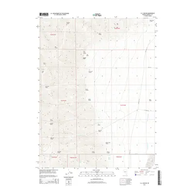
2014 Map of I X L Canyon
USGS Topo · Published 2014About this map
The Stillwater Range dominates this portion of Churchill County, where the desert landscape is defined by massive alluvial fans and deep-cut drainages like I X L Canyon and Shanghai Canyon. A significant geological feature, the Fault Scarp of 1954, is clearly marked in the northeastern corner of the map, providing a literal trace of seismic history across the terrain.
Find a feature on this map
41 named features on this map. Tap any name to fly to it.
Don’t see what you’re looking for? This feature index may not catch every label — zoom into the map to look around manually.
Map Details
Editions of this 2014 I X L Canyon Map
This is the sole edition of this map. No revisions or reprints were ever made.
Other maps of this area
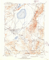
1908 · Carson Sink
USGS Topo · 1:250,000
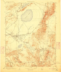
1910 · Carson Sink
USGS Topo · 1:250,000
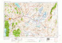
1957 · Reno
USGS Topo · 1:250,000
1959 · Reno
USGS Topo · 1:250,000
1960 · Reno
USGS Topo · 1:250,000
1966 · Dixie Hot Springs
USGS Topo · 1:62,500
1969 · Cox Canyon
USGS Topo · 1:24,000
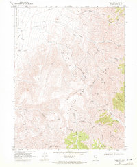
1969 · Table Mtn
USGS Topo · 1:24,000
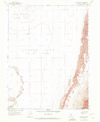
1969 · Lone Rock SE
USGS Topo · 1:24,000
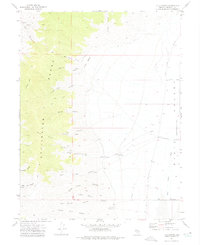
1972 · I X L Canyon
USGS Topo · 1:24,000