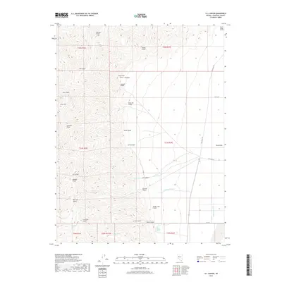
2018 Map of I X L Canyon
USGS Topo · Published 2018About this map
The Stillwater Range dominates this landscape in Churchill County, where deep incisions like I X L Canyon and West Job Canyon carve through the high terrain. To the east, the mountains give way to the low expanse of Dixie Valley, a region shaped by significant tectonic activity. A notable geologic marker, the Fault Scarp of 1954, traces the transition between the range and the valley floor, serving as a reminder of the mid-century earthquake that altered this basin. Water sources are scarce but strategically located for livestock and local use, including Mud or Willow Spring and Black Brush Spring. The presence of Settlement Rd and Cattle Rd in the valley basin indicates the area's continued use for ranching and remote habitation, while the elevation at Silver Hill provides a vantage point over the complex system of canyons that drain toward the Dixie Valley Wash.
Find a feature on this map
41 named features on this map. Tap any name to fly to it.
Don’t see what you’re looking for? This feature index may not catch every label — zoom into the map to look around manually.
Map Details
Editions of this 2018 I X L Canyon Map
This is the sole edition of this map. No revisions or reprints were ever made.
Other maps of this area
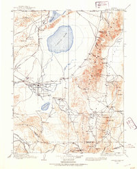
1908 · Carson Sink
USGS Topo · 1:250,000
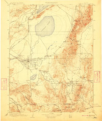
1910 · Carson Sink
USGS Topo · 1:250,000
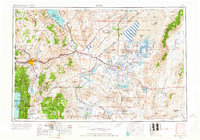
1957 · Reno
USGS Topo · 1:250,000
1959 · Reno
USGS Topo · 1:250,000
1960 · Reno
USGS Topo · 1:250,000
1966 · Dixie Hot Springs
USGS Topo · 1:62,500
1969 · Cox Canyon
USGS Topo · 1:24,000
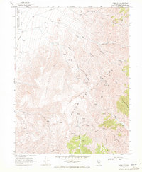
1969 · Table Mtn
USGS Topo · 1:24,000
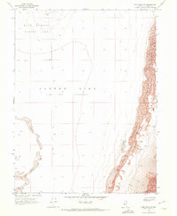
1969 · Lone Rock SE
USGS Topo · 1:24,000
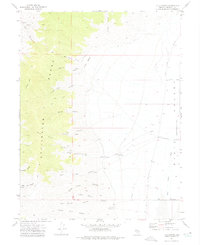
1972 · I X L Canyon
USGS Topo · 1:24,000