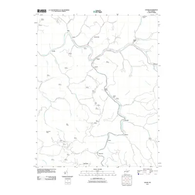
2011 Map of Iaeger
USGS Topo · Published 2011About this map
Tug Fork and Dry Fork carve through the deep hollows of McDowell County, defining the settlement patterns of this central Appalachian landscape. At the confluence of these waters, the town of Iaeger serves as a focal point, flanked by smaller riverside communities like Johnnycake, Avondale, and Union City. The terrain is characterized by sharp ridges such as Bee Ridge and Sourwood Ridge, where steep slopes necessitated the placement of family burial grounds and community landmarks on high ground or narrow benches. Genealogists will find a wealth of named sites, including the Lockhart, Meadows, and Bowles cemeteries. This 2011 survey captures the area's intricate network of secondary roads, from Old 52 Rd to the winding Mile Branch Rd, tracing the legacy of the local timber and coal economies through the names of various branches and hollows that feed into the primary river systems.
Find a feature on this map
82 named features on this map. Tap any name to fly to it.
Don’t see what you’re looking for? This feature index may not catch every label — zoom into the map to look around manually.
Map Details
Editions of this 2011 Iaeger Map
This is the sole edition of this map. No revisions or reprints were ever made.
Other maps of this area

1891 · Tazewell
USGS Topo · 1:125,000

1891 · Oceana
USGS Topo · 1:125,000

1893 · Oceana
USGS Topo · 1:125,000

1895 · Tazewell
USGS Topo · 1:125,000

1897 · Tazewell
USGS Topo · 1:125,000

1898 · Oceana
USGS Topo · 1:125,000

1909 · Gilbert
USGS Topo · 1:48,000

1910 · Pineville
USGS Topo · 1:48,000

1910 · Iaeger
USGS Topo · 1:48,000

1912 · Gilbert
USGS Topo · 1:62,500