Loading...
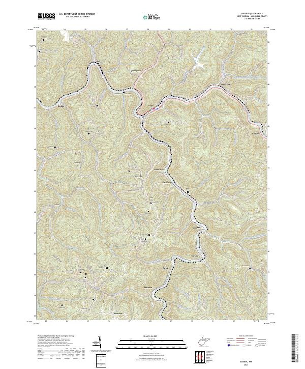
Loading map...2023 Map of Iaeger
USGS Topo · Published 2023About this map
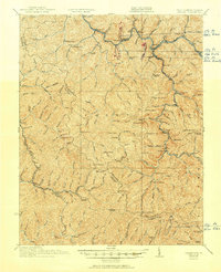
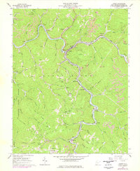
Iaeger sits at the confluence of the Tug Fork and Dry Fork, serving as a central hub for this corner of McDowell County. The terrain is characterized by a dense network of steep ridges, including Bee Ridge and Sourwood Ridge, which dictate the winding paths of local roads and the placement of small communities like Sandy Huff and Avondale. The settlement pattern is largely linear, following the narrow creek valleys and branches that feed the larger river system.
Find a feature on this map
163 named features on this map. Tap any name to fly to it.
Don’t see what you’re looking for? This feature index may not catch every label — zoom into the map to look around manually.
Map Details
Date Portrayed2023
Date Published2023
PublisherU.S. Geological Survey
Map TypeTopographic
Scale1:24000
Physical Dimensions24 x 29 inches
Editions of this 2023 Iaeger Map
This is the sole edition of this map. No revisions or reprints were ever made.
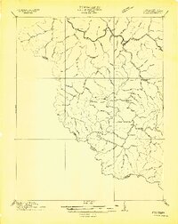
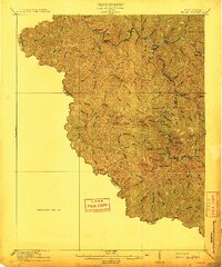
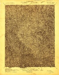
Historical Maps of Union City Through Time
7 maps found

Featured Locations
Source Details
SourceU.S. Geological Survey
CopyrightPublic Domain