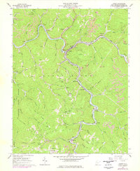
1964 Map of Iaeger
USGS Topo · Published 1978About this map
The Norfolk and Western railway snakes through the deep river valleys of this 1960s West Virginia coal country, connecting riverfront settlements like Iaeger and Litwar. This is a landscape shaped by both industry and conservation, where extensive strip mines overlook the wooded boundaries of Panther State Forest. The map captures a moment when traditional Appalachian life centered on small rail-side communities and family-named landmarks, such as Kennedy Cem and Collins Cem.
Find a feature on this map
77 named features on this map. Tap any name to fly to it.
Don’t see what you’re looking for? This feature index may not catch every label — zoom into the map to look around manually.
Map Details
Editions of this 1964 Iaeger Map
3 editions found
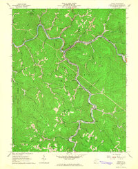
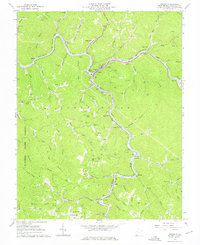
Other maps of this area

1891 · Tazewell
USGS Topo · 1:125,000

1891 · Oceana
USGS Topo · 1:125,000

1893 · Oceana
USGS Topo · 1:125,000

1895 · Tazewell
USGS Topo · 1:125,000

1897 · Tazewell
USGS Topo · 1:125,000

1898 · Oceana
USGS Topo · 1:125,000

1909 · Gilbert
USGS Topo · 1:48,000

1910 · Pineville
USGS Topo · 1:48,000

1910 · Iaeger
USGS Topo · 1:48,000

1912 · Gilbert
USGS Topo · 1:62,500