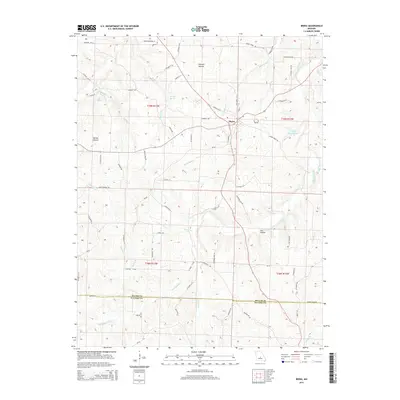
2015 Map of Iberia
USGS Topo · Published 2015About this map
Iberia serves as the central hub of this Missouri landscape, situated where the ridge lines of Miller County meet the northern border of Pulaski County. The topography is defined by a dense network of drainages including Tavern Creek and Rabbithead Cr, which carve through the Ozark plateau creating distinctive features like Heltzell Hollow and Barnes Hollow. This 2015 survey illustrates a rural environment where water sources have long dictated human activity, from the named Boiling Springs and Blue Spring to the smaller branches like Custer Br and Moore Br. The road network, including Charcoal Kiln Rd and Tavern Creek Rd, follows the natural contours of the land, connecting the town center to more isolated family-named landmarks and local features like Groffs Retreat Lake.
Find a feature on this map
70 named features on this map. Tap any name to fly to it.
Don’t see what you’re looking for? This feature index may not catch every label — zoom into the map to look around manually.
Map Details
Editions of this 2015 Iberia Map
This is the sole edition of this map. No revisions or reprints were ever made.
Other maps of this area

1888 · Tuscumbia
USGS Topo · 1:125,000

1894 · Tuscumbia
USGS Topo · 1:125,000

1933 · Iberia
USGS Topo · 1:62,500

1936 · Waynesville
USGS Topo · 1:48,000

1937 · Iberia
USGS Topo · 1:62,500

1942 · Waynesville
USGS Topo · 1:62,500

1943 · Richland
USGS Topo · 1:62,500

1944 · Waynesville
USGS Topo · 1:62,500

1947 · Jefferson City
USGS Topo · 1:250,000

1948 · Tavern
USGS Topo · 1:62,500