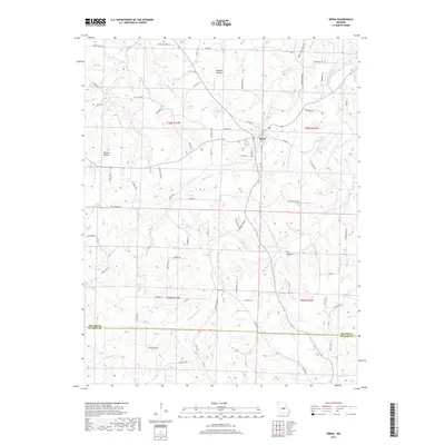
2017 Map of Iberia
USGS Topo · Published 2017About this map
Iberia sits at the heart of this Missouri Ozarks terrain, where the northern reaches of the Miller and Pulaski county line divide the landscape. The area is defined by its intricate drainage networks, most notably the winding paths of Tavern Creek and its many tributaries such as Rabbithead Cr and Clinkingbeard Cr. These waterways cut through the limestone geology, creating distinct landforms like Heltzell Hollow, Barnes Hollow, and the secluded Fox Hollow.
Find a feature on this map
80 named features on this map. Tap any name to fly to it.
Don’t see what you’re looking for? This feature index may not catch every label — zoom into the map to look around manually.
Map Details
Editions of this 2017 Iberia Map
This is the sole edition of this map. No revisions or reprints were ever made.
Other maps of this area
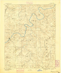
1888 · Tuscumbia
USGS Topo · 1:125,000
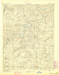
1894 · Tuscumbia
USGS Topo · 1:125,000
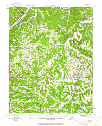
1933 · Iberia
USGS Topo · 1:62,500
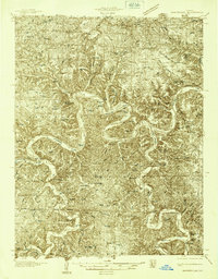
1936 · Waynesville
USGS Topo · 1:48,000
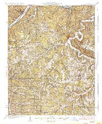
1937 · Iberia
USGS Topo · 1:62,500
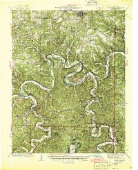
1942 · Waynesville
USGS Topo · 1:62,500
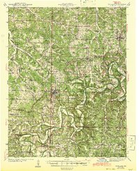
1943 · Richland
USGS Topo · 1:62,500
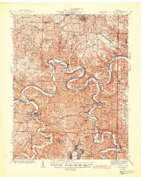
1944 · Waynesville
USGS Topo · 1:62,500
1947 · Jefferson City
USGS Topo · 1:250,000
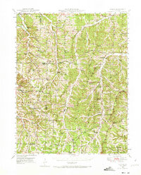
1948 · Tavern
USGS Topo · 1:62,500