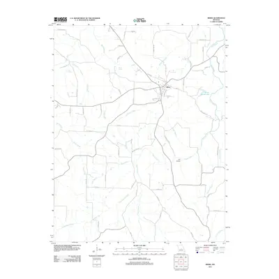
2021 Map of Iberia
USGS Topo · Published 2021About this map
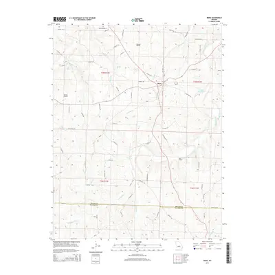
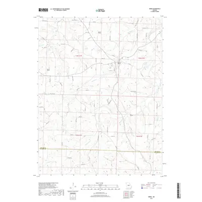
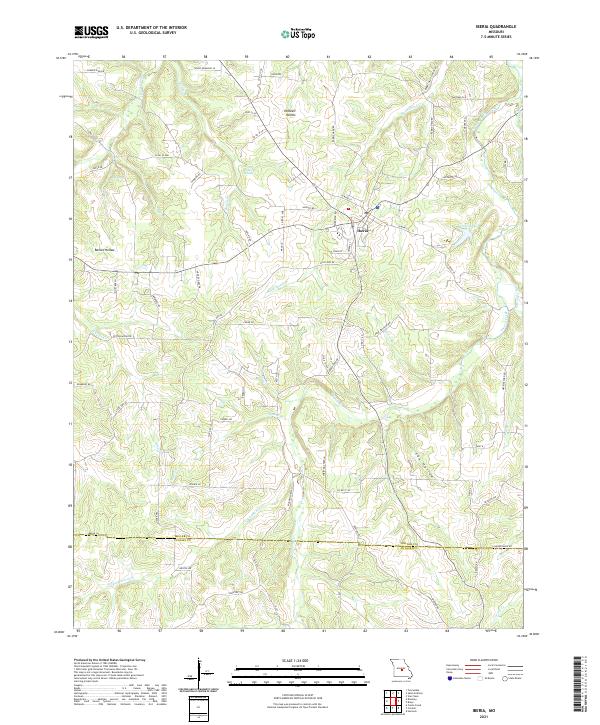
Iberia sits at the heart of this central Missouri landscape, where the plateau begins its descent into the deep drainages of the Ozarks. The town serves as a hub for a network of rural routes like W Main St and Airport Rd, surrounded by a complex system of hollows and springs. Notable water features include the aptly named Blue Spring and Boiling Springs, reflecting the region's karst topography. The eastern portion of the map is defined by the winding course of Tavern Creek and its tributaries, such as Little Tavern Cr and Johnston Cr. Traces of earlier transit and settlement patterns are evident in labels like Madden Ford Rd and Rabbit Head School Rd, which highlight the historical importance of creek crossings and local school districts to this community. The southern border marks the transition from Miller Co into Pulaski Co.
Find a feature on this map
73 named features on this map. Tap any name to fly to it.
Don’t see what you’re looking for? This feature index may not catch every label — zoom into the map to look around manually.
Map Details
Editions of this 2021 Iberia Map
This is the sole edition of this map. No revisions or reprints were ever made.
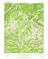
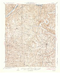
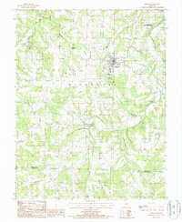
Historical Maps of Iberia Through Time
7 maps found