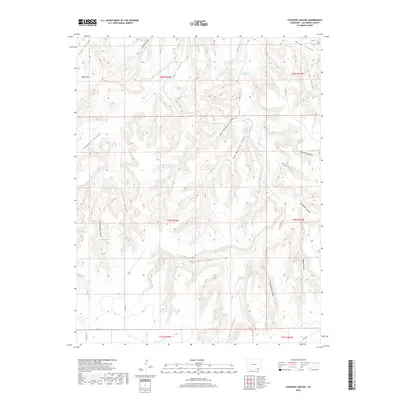
2019 Map of Icehouse Canyon
USGS Topo · Published 2019About this map
Icehouse Canyon and Piñon Canyon dominate this high-desert landscape in Las Animas County, where the topography is defined by a dense network of drainages and seasonal water sources. The map reveals a high reliance on specific water points for ranching or survival in this arid environment, evidenced by named locations like Twentymile Waterhole, Gatlin Waterhole, and January Spring. These features, along with Turkey Spring, represent critical landmarks in a region largely defined by its natural hydrology rather than dense human settlement.
Find a feature on this map
35 named features on this map. Tap any name to fly to it.
Don’t see what you’re looking for? This feature index may not catch every label — zoom into the map to look around manually.
Map Details
Editions of this 2019 Icehouse Canyon Map
This is the sole edition of this map. No revisions or reprints were ever made.
Other maps of this area
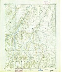
1891 · Higbee
USGS Topo · 1:125,000
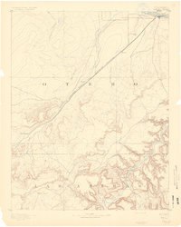
1891 · Timpas
USGS Topo · 1:125,000
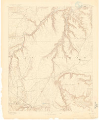
1891 · Mesa De Maya
USGS Topo · 1:125,000
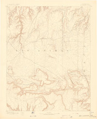
1892 · Mt Carrizo
USGS Topo · 1:125,000
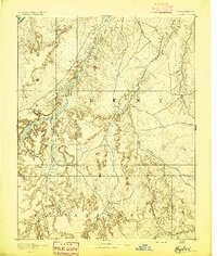
1893 · Higbee
USGS Topo · 1:125,000
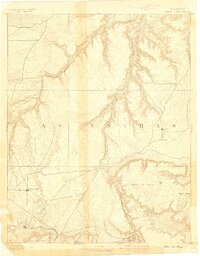
1893 · Mesa de Maya
USGS Topo · 1:125,000
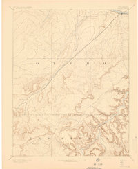
1894 · Timpas
USGS Topo · 1:125,000

1955 · La Junta
USGS Topo · 1:250,000

1958 · La Junta
USGS Topo · 1:250,000

1968 · La Junta
USGS Topo · 1:250,000