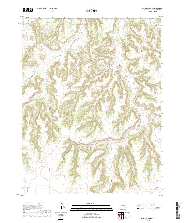
2022 Map of Icehouse Canyon
USGS Topo · Published 2022About this map
Icehouse Canyon serves as the central drainage for this deeply dissected portion of Las Animas County, where a complex network of dry washes and seasonal water sources defines the landscape. The geography is marked by essential water points such as Twentymile Waterhole and Gatlin Waterhole, which historically supported ranching and movement through this arid territory. The terrain is organized by a series of prominent canyons including Cedar Pen Canyon, Tafoya Canyon, and the dual branches of West Maverick Canyon and East Maverick Canyon. Modern access is provided by county roads such as Co RD 183 and Co RD 54, which navigate the high ground between features like Piñon Park and the rugged descents into Smith Canyon. This 2022 survey illustrates a land primarily used for grazing and resource management, where named springs like Turkey Spring and January Spring remain critical landmarks.
Find a feature on this map
34 named features on this map. Tap any name to fly to it.
Don’t see what you’re looking for? This feature index may not catch every label — zoom into the map to look around manually.
Map Details
Editions of this 2022 Icehouse Canyon Map
This is the sole edition of this map. No revisions or reprints were ever made.
Other maps of this area

1891 · Higbee
USGS Topo · 1:125,000

1891 · Timpas
USGS Topo · 1:125,000

1891 · Mesa De Maya
USGS Topo · 1:125,000

1892 · Mt Carrizo
USGS Topo · 1:125,000

1893 · Higbee
USGS Topo · 1:125,000

1893 · Mesa de Maya
USGS Topo · 1:125,000

1894 · Timpas
USGS Topo · 1:125,000

1955 · La Junta
USGS Topo · 1:250,000

1958 · La Junta
USGS Topo · 1:250,000

1968 · La Junta
USGS Topo · 1:250,000