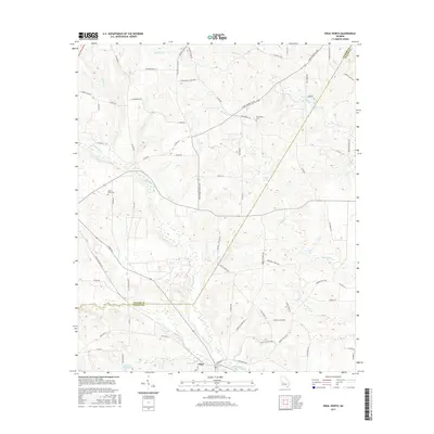
2017 Map of Ideal North
USGS Topo · Published 2017About this map
Ideal sits at the southern edge of this West Georgia landscape, situated at a junction of rails and roads where the terrain transitions toward the Whitewater Cr basin. The area is defined by a dense network of tributaries including Toteover Cr, Sand Cr, and Piney Cr, which feed into the larger creek systems that have historically shaped local land use. Local history is anchored by family and community landmarks such as Bethlehem Cem and Mount Sinai Cem, alongside the evidence of early industrial water use at Brooks Mill Pond. The mapping reveals a rural infrastructure of named routes like Crossroad School Rd and John Harvey Duncan Rd, reflecting generations of settlement patterns along the Taylor County and Macon County line.
Find a feature on this map
72 named features on this map. Tap any name to fly to it.
Don’t see what you’re looking for? This feature index may not catch every label — zoom into the map to look around manually.
Map Details
Editions of this 2017 Ideal North Map
This is the sole edition of this map. No revisions or reprints were ever made.
Other maps of this area
1955 · Phenix City
USGS Topo · 1:250,000
1957 · Phenix City
USGS Topo · 1:250,000
1958 · Phenix City
USGS Topo · 1:250,000
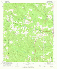
1971 · Rupert
USGS Topo · 1:24,000
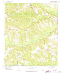
1971 · Ideal South
USGS Topo · 1:24,000
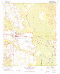
1971 · Reynolds
USGS Topo · 1:24,000
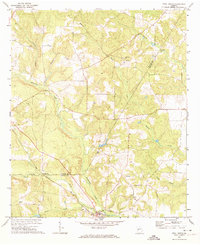
1971 · Ideal North
USGS Topo · 1:24,000
1971 · Ellaville North
USGS Topo · 1:24,000
1971 · Garden Valley
USGS Topo · 1:24,000
1971 · Butler West
USGS Topo · 1:24,000