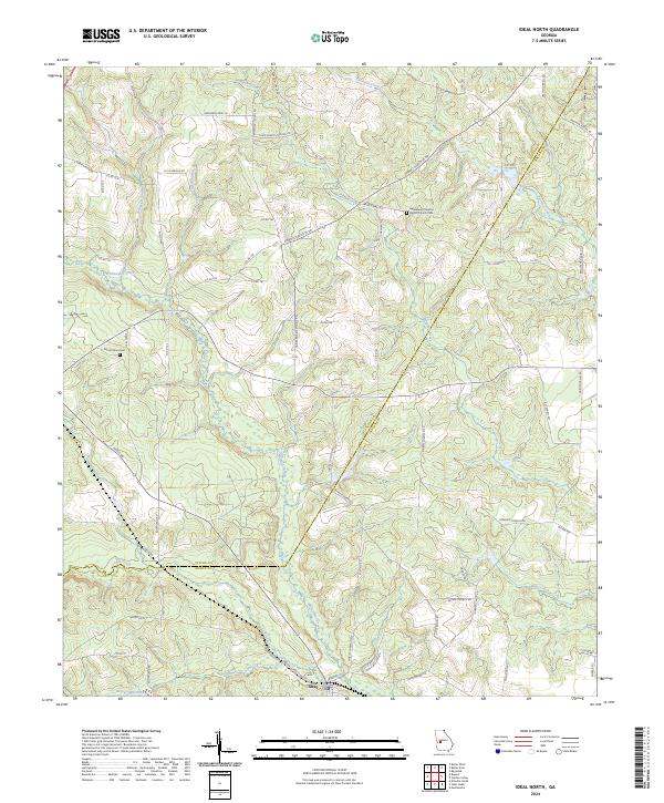
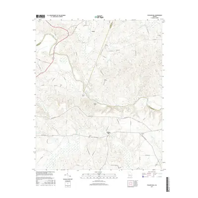
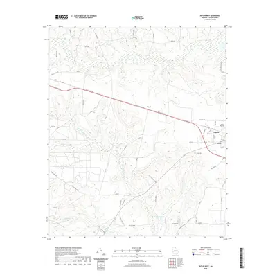
2024 Map of Ideal North
USGS Topo · Published 2024About this map
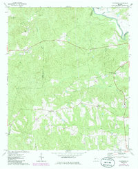
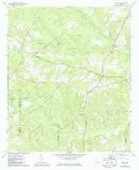
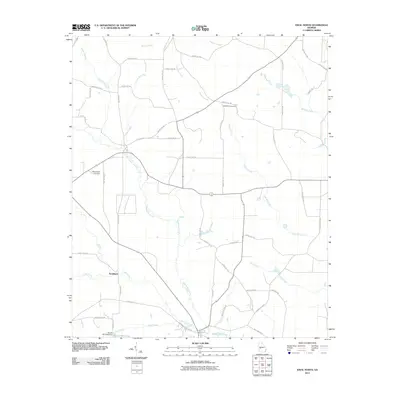
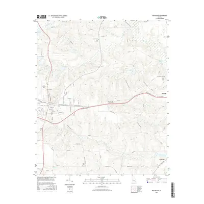
Whitewater Creek and its many tributaries, including Sand Creek, Meadow Creek, and Juniper Branch, dominate this landscape at the boundary of Taylor and Macon counties. The settlement of Ideal sits near the southern edge of the map, serving as a focal point for the surrounding rural area. Local history is anchored by long-standing community sites such as Bethlehem Primitive Baptist Church Cem and Mount Sinai Cem.
Find a feature on this map
70 named features on this map. Tap any name to fly to it.
Don’t see what you’re looking for? This feature index may not catch every label — zoom into the map to look around manually.
Map Details
Editions of this 2024 Ideal North Map
This is the sole edition of this map. No revisions or reprints were ever made.
Historical Maps of Ideal Through Time
36 maps found
1971 Butler East
Taylor County, GA

1971 Butler West
Taylor County, GA
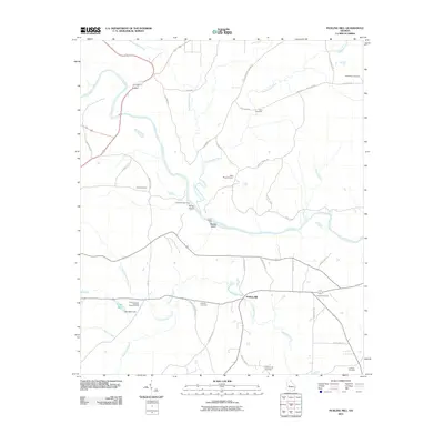
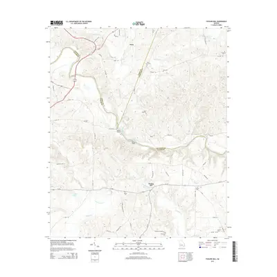
1971 Fickling Mill
Taylor County, GA
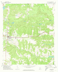
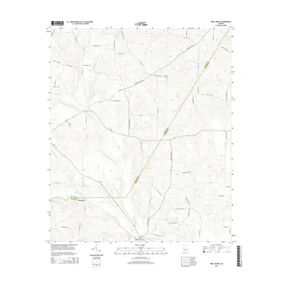
1971 Ideal North
Taylor County, GA
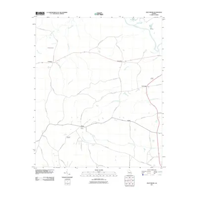
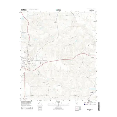
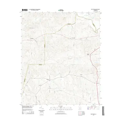
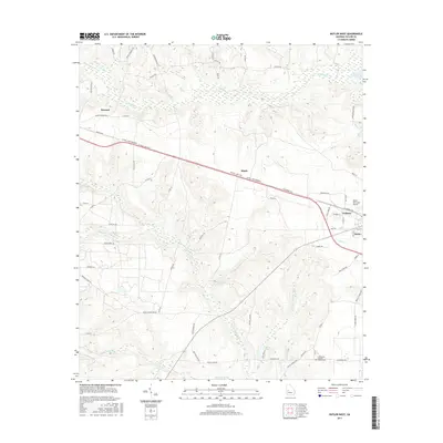
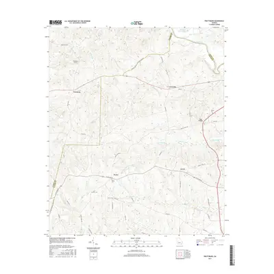
1971 Prattsburg
Taylor County, GA
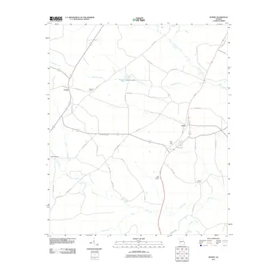
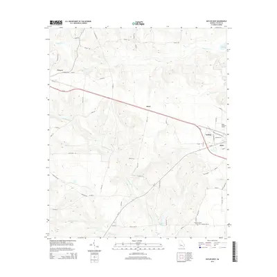
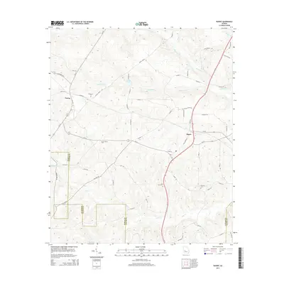
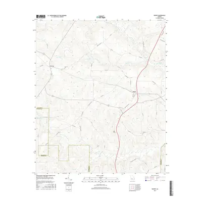
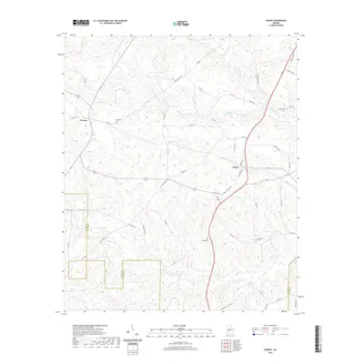
1971 Rupert
Taylor County, GA
2011 Butler East
Taylor County, GA
2011 Butler West
Taylor County, GA
2011 Fickling Mill
Taylor County, GA
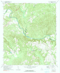
2011 Ideal North
Taylor County, GA
2011 Prattsburg
Taylor County, GA
2011 Rupert
Taylor County, GA
2014 Butler East
Taylor County, GA
2014 Butler West
Taylor County, GA
2014 Fickling Mill
Taylor County, GA
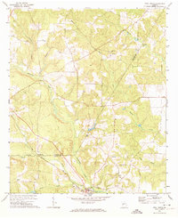
2014 Ideal North
Taylor County, GA
2014 Prattsburg
Taylor County, GA
2014 Rupert
Taylor County, GA
2017 Butler East
Taylor County, GA
2017 Butler West
Taylor County, GA
2017 Fickling Mill
Taylor County, GA

2017 Ideal North
Taylor County, GA
2017 Prattsburg
Taylor County, GA
2017 Rupert
Taylor County, GA
2020 Butler East
Taylor County, GA
2020 Butler West
Taylor County, GA
2020 Fickling Mill
Taylor County, GA
2020 Ideal North
Taylor County, GA
2020 Prattsburg
Taylor County, GA
2020 Rupert
Taylor County, GA
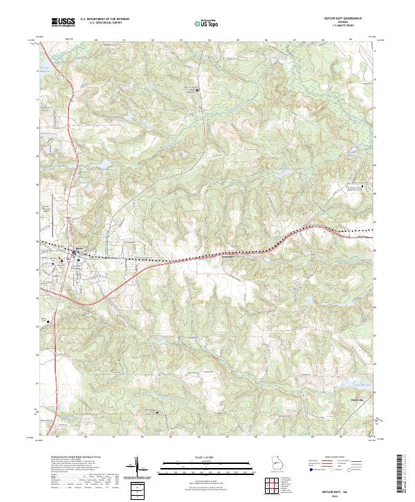
2024 Butler East
Taylor County, GA
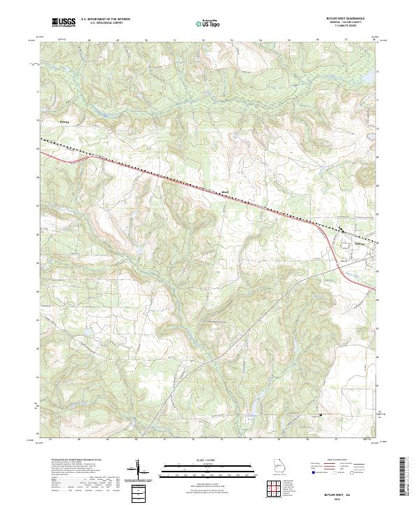
2024 Butler West
Taylor County, GA
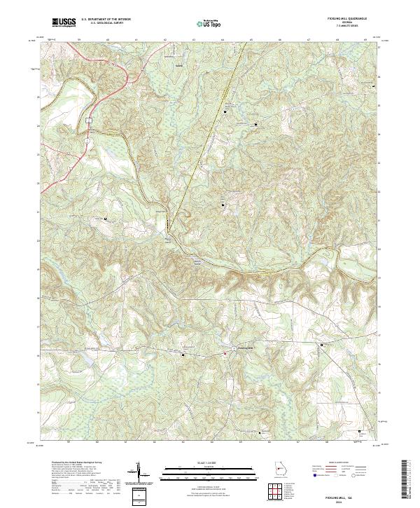
2024 Fickling Mill
Taylor County, GA
2024 Ideal North
Taylor County, GA
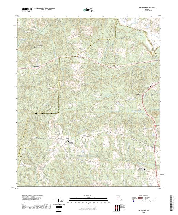
2024 Prattsburg
Taylor County, GA
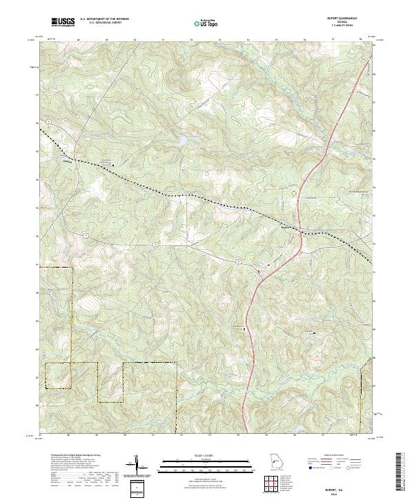
2024 Rupert
Taylor County, GA