
1971 Map of Ideal North
USGS Topo · Published 1974About this map
The boundary between Taylor and Macon counties divides this rural landscape as it appeared in the early 1970s. The settlement of Ideal sits near the southern edge of the sheet, while the Seaboard Coast Line railroad cuts diagonally across the western terrain, passing through Southland. The region is defined by a dense network of watercourses, including Whitewater Creek, Meadow Creek, and Toteover Creek, which drain the varied topography. Scattered throughout the countryside are several rural congregations and burying grounds, such as Bethlehem Ch, Little Bethel Ch, and Mt Sinai Cem. Local industry is represented by a Claypit located near the center of the survey area, indicating the geological extraction common to this portion of middle Georgia.
Find a feature on this map
23 named features on this map. Tap any name to fly to it.
Don’t see what you’re looking for? This feature index may not catch every label — zoom into the map to look around manually.
Map Details
Editions of this 1971 Ideal North Map
This is the sole edition of this map. No revisions or reprints were ever made.
Other maps of this area

1955 · Phenix City
USGS Topo · 1:250,000

1957 · Phenix City
USGS Topo · 1:250,000

1958 · Phenix City
USGS Topo · 1:250,000

1971 · Rupert
USGS Topo · 1:24,000

1971 · Ideal South
USGS Topo · 1:24,000

1971 · Reynolds
USGS Topo · 1:24,000

1971 · Ellaville North
USGS Topo · 1:24,000

1971 · Garden Valley
USGS Topo · 1:24,000
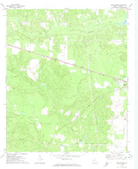
1971 · Butler West
USGS Topo · 1:24,000
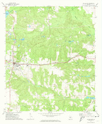
1971 · Butler East
USGS Topo · 1:24,000