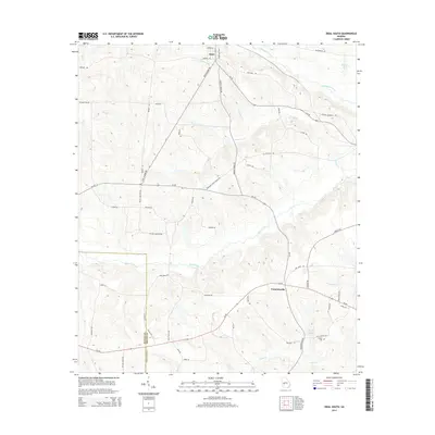
2014 Map of Ideal South
USGS Topo · Published 2014About this map
The town of Ideal and the community of Fountainville anchor this agricultural region along the border of Schley and Macon Counties. The landscape is defined by the convergence of several significant water systems, including Buck Creek, Whitewater Creek, and Camp Creek, which feed into local landmarks such as English Millpond. The topography reflects a rural economy dependent on these water resources, with numerous smaller tributaries like Dominey Br and Mill Cr branching through the wooded terrain.
Find a feature on this map
55 named features on this map. Tap any name to fly to it.
Don’t see what you’re looking for? This feature index may not catch every label — zoom into the map to look around manually.
Map Details
Editions of this 2014 Ideal South Map
This is the sole edition of this map. No revisions or reprints were ever made.
Other maps of this area

1955 · Phenix City
USGS Topo · 1:250,000

1957 · Phenix City
USGS Topo · 1:250,000

1958 · Phenix City
USGS Topo · 1:250,000

1971 · Rupert
USGS Topo · 1:24,000

1971 · Ideal South
USGS Topo · 1:24,000

1971 · Ideal North
USGS Topo · 1:24,000

1971 · Ellaville North
USGS Topo · 1:24,000

1971 · Garden Valley
USGS Topo · 1:24,000

1971 · Montezuma
USGS Topo · 1:24,000

1972 · Ellaville South
USGS Topo · 1:24,000