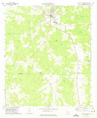
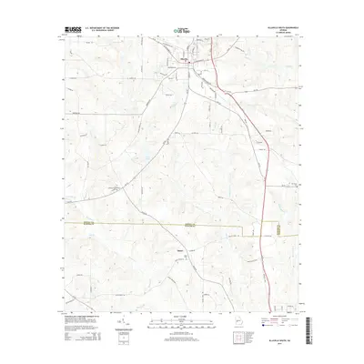
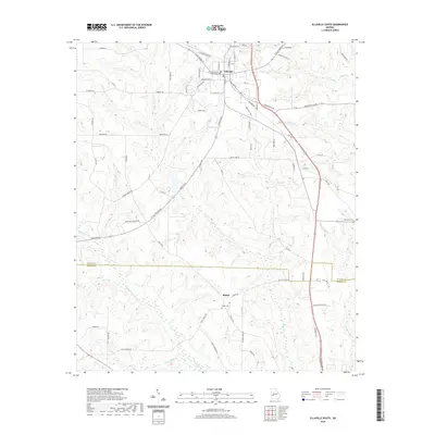
1972 Map of Ellaville South
USGS Topo · Published 1975About this map
Ellaville serves as the focal point for this early 1970s survey of Schley County, where the Central of Georgia railroad line bisects the town's northern reaches. The landscape south of the city is defined by the intricate drainages of Little Muckalee Creek and Toteover Creek, a region characterized by rural homesteads and a dense network of country churches. Significant local history is preserved in the locations of Union Hill Ch, Jerusalem Ch, and Andrews Chapel, while family and community heritage is anchored at Ebenezer Cem and Oak Grove Cem. The map illustrates a transitional period in local infrastructure, showing the Ellaville Airport and Athletic Field alongside older agricultural patterns. To the south, the Schley Co Sumter Co line marks the boundary of this agricultural heartland, where small settlements like Shiloh and the paths along Parkers road reveal the footprint of twentieth-century rural Georgia.
Find a feature on this map
32 named features on this map. Tap any name to fly to it.
Don’t see what you’re looking for? This feature index may not catch every label — zoom into the map to look around manually.
Map Details
Editions of this 1972 Ellaville South Map
This is the sole edition of this map. No revisions or reprints were ever made.
Historical Maps of Ellaville Through Time
12 maps found

1971 Ellaville North
Schley County, GA
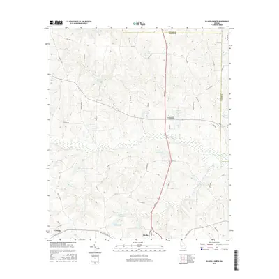
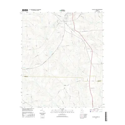
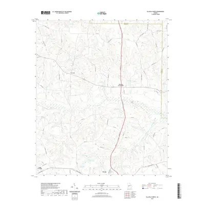
1972 Ellaville South
Schley County, GA
2011 Ellaville North
Schley County, GA
2011 Ellaville South
Schley County, GA
2014 Ellaville North
Schley County, GA
2014 Ellaville South
Schley County, GA
2017 Ellaville North
Schley County, GA
2017 Ellaville South
Schley County, GA
2020 Ellaville North
Schley County, GA
2020 Ellaville South
Schley County, GA
2024 Ellaville North
Schley County, GA
2024 Ellaville South
Schley County, GA