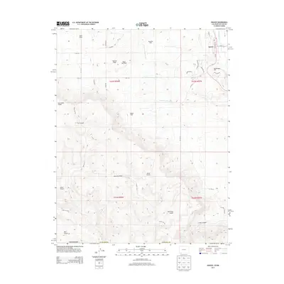
2013 Map of Ignacio
USGS Topo · Published 2013About this map
Ignacio serves as the focal point for this landscape in the southern Ute region of Colorado, situated where the Los Pinos River meets a network of vital irrigation infrastructure. The map details the complex water management systems essential to the area, including the Morrison Consolidated Ditch and the Pine River Southwest Ditch. To the west, the terrain rises into the Mesa Mountains, marked by deep drainage systems like Alamo Canyon and Pump Canyon. The intersection of tribal routes and county roads, such as Indian Rte 151 and Co Rd 310, highlights the area's role as a transit corridor. Named landmarks like Rattlesnake Hill and Worford Ridge provide clear geographic anchors for family researchers and historians interested in the land-use patterns of La Plata County.
Find a feature on this map
41 named features on this map. Tap any name to fly to it.
Don’t see what you’re looking for? This feature index may not catch every label — zoom into the map to look around manually.
Map Details
Editions of this 2013 Ignacio Map
This is the sole edition of this map. No revisions or reprints were ever made.
Other maps of this area
1889 · Largo
USGS Topo · 1:250,000
1895 · Largo
USGS Topo · 1:250,000
1908 · Ignacio
USGS Topo · 1:125,000
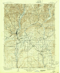
1924 · Ignacio
USGS Topo · 1:125,000

1945 · Durango
USGS Topo · 1:250,000
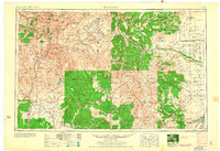
1953 · Durango
USGS Topo · 1:250,000
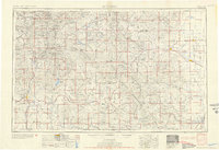
1954 · Durango
USGS Topo · 1:250,000
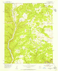
1954 · Burnt Mesa
USGS Topo · 1:24,000

1954 · Aztec
USGS Topo · 1:250,000
1958 · Aztec
USGS Topo · 1:250,000