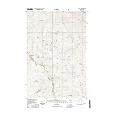
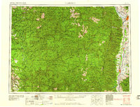
2014 Map of Illinois Peak
USGS Topo · Published 2014About this map
The high crests of the Bitterroot Range define this high-altitude landscape where the Montana-Idaho border follows the continental divide. Water from these peaks feeds both sides of the divide, including the headwaters of the Saint Joe River emerging from Saint Joe Lake and the various branches of Cedar Cr. The map reveals a history of high-country exploration and extraction, noted by features like the Golden Sunrise Mine Rd and Prospect Mtn Number One.
Find a feature on this map
58 named features on this map. Tap any name to fly to it.
Don’t see what you’re looking for? This feature index may not catch every label — zoom into the map to look around manually.
Map Details
Editions of this 2014 Illinois Peak Map
This is the sole edition of this map. No revisions or reprints were ever made.
Other maps of this area
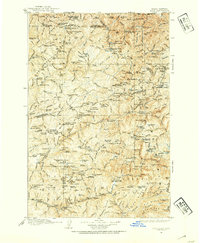
1911 · Lolo
USGS Topo · 1:250,000
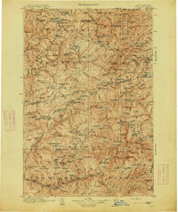
1913 · Lolo
USGS Topo · 1:250,000
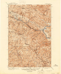
1918 · St Regis
USGS Topo · 1:125,000
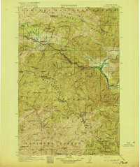
1919 · St. Regis
USGS Topo · 1:125,000

1956 · Wallace
USGS Topo · 1:250,000
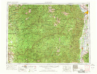
1956 · Hamilton
USGS Topo · 1:250,000
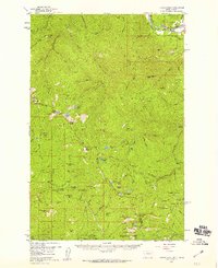
1957 · Illinois Peak
USGS Topo · 1:62,500
1959 · Hamilton
USGS Topo · 1:250,000

1960 · Wallace
USGS Topo · 1:250,000
1960 · Hamilton
USGS Topo · 1:250,000