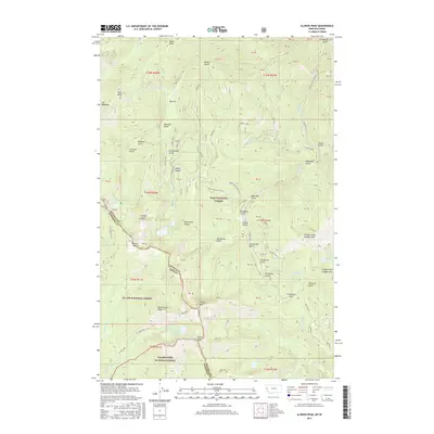
2017 Map of Illinois Peak
USGS Topo · Published 2017About this map
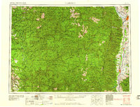
Illinois Peak stands at the heart of this high-elevation terrain along the boundary of the Bitterroot Range, where the state line divides the mountain crests between Montana and Idaho. The landscape is defined by its deep drainages and mineral prospects, notably the Golden Sunset Mine and significant elevations like Prospect Mtn Number One. This 2017 survey details a remote wilderness managed by three intersecting jurisdictions: the Lolo National Forest, St. Joe National Forest, and Clearwater National Forest. Natural water features such as Saint Joe Lake and the headwaters of the Saint Joe River appear alongside numerous namesake gulches, including China Gulch, Elizabeth Gulch, and Wolverine Gulch. The road network is sparse, primarily consisting of Forest Service routes like Freezout Rd and Big Flat Rd, which provide access to high points like Freezeout Pass and the Miller Saddle.
Find a feature on this map
65 named features on this map. Tap any name to fly to it.
Don’t see what you’re looking for? This feature index may not catch every label — zoom into the map to look around manually.
Map Details
Editions of this 2017 Illinois Peak Map
This is the sole edition of this map. No revisions or reprints were ever made.
Other maps of this area
1911 · Lolo
USGS Topo · 1:250,000
1913 · Lolo
USGS Topo · 1:250,000
1918 · St Regis
USGS Topo · 1:125,000
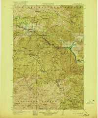
1919 · St. Regis
USGS Topo · 1:125,000

1956 · Wallace
USGS Topo · 1:250,000
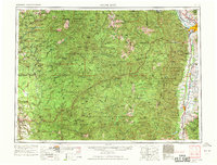
1956 · Hamilton
USGS Topo · 1:250,000
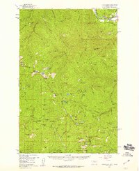
1957 · Illinois Peak
USGS Topo · 1:62,500
1959 · Hamilton
USGS Topo · 1:250,000

1960 · Wallace
USGS Topo · 1:250,000
1960 · Hamilton
USGS Topo · 1:250,000