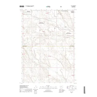
2017 Map of Imlay
USGS Topo · Published 2017About this map
Imlay sits at the intersection of protected federal lands and the high prairie plateau of western South Dakota. This landscape is defined by the contrast between the plateaus of Keester Table and Hunt Table and the deep drainage networks carved by Big Hollow Cr and Cain Cr. The map captures the boundary between Pennington Co and Oglala Lakota Co, highlighting a region where public lands like Badlands National Park and the Buffalo Gap National Grassland dominate the geography. Transport through this rugged country is primarily facilitated by SN 44, which winds across the northern townships. The intricate contour lines illustrate the classic badlands topography, where flat-topped mesas drop sharply into complex ravine systems including Wind Cr and Clifford Cr.
Find a feature on this map
20 named features on this map. Tap any name to fly to it.
Don’t see what you’re looking for? This feature index may not catch every label — zoom into the map to look around manually.
Map Details
Editions of this 2017 Imlay Map
This is the sole edition of this map. No revisions or reprints were ever made.
Other maps of this area
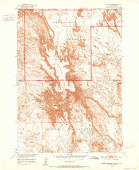
1950 · Sheep Mountain Table
USGS Topo · 1:24,000
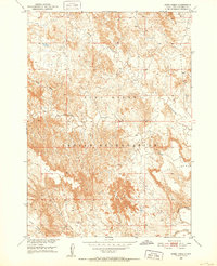
1950 · Stirk Table
USGS Topo · 1:24,000
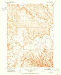
1950 · Imlay SW
USGS Topo · 1:24,000
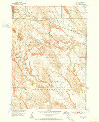
1950 · Imlay
USGS Topo · 1:24,000
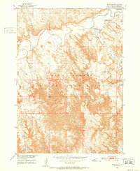
1950 · Imlay SE
USGS Topo · 1:24,000
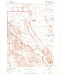
1950 · Bouquet Table
USGS Topo · 1:24,000
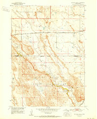
1952 · Bouquet Table
USGS Topo · 1:24,000
1954 · Scenic
USGS Topo · 1:24,000
1955 · Hot Springs
USGS Topo · 1:250,000
1960 · Quinn Table SE
USGS Topo · 1:24,000