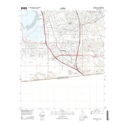
2015 Map of Imperial Beach
USGS Topo · Published 2015About this map
The international border between California and Mexico defines the southern landscape of this coastal region. Much of the southern terrain is dominated by the Tijuana River valley and its estuary systems, which contrast with the suburban development of Chula Vista and San Diego to the north. A significant portion of the coastal area is occupied by the Imperial Beach Naval Outlying Field (Ream Field), reflecting the long-standing military presence along this portion of the Pacific coast.
Find a feature on this map
75 named features on this map. Tap any name to fly to it.
Don’t see what you’re looking for? This feature index may not catch every label — zoom into the map to look around manually.
Map Details
Editions of this 2015 Imperial Beach Map
This is the sole edition of this map. No revisions or reprints were ever made.
Other maps of this area

1903 · Cuyamaca
USGS Topo · 1:125,000

1904 · San Diego
USGS Topo · 1:62,500

1904 · Southern California Sheet No. 2
USGS Topo · 1:250,000

1930 · San Diego
USGS Topo · 1:62,500

1942 · Point Loma
USGS Topo · 1:31,680
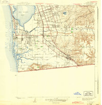
1943 · San Ysidro
USGS Topo · 1:31,680

1943 · Jamul
USGS Topo · 1:62,500
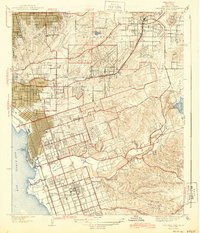
1944 · National City
USGS Topo · 1:31,680

1950 · San Diego
USGS Topo · 1:250,000
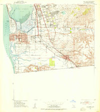
1953 · San Ysidro
USGS Topo · 1:24,000