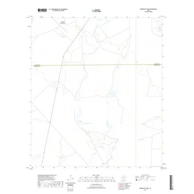
2019 Map of Imperialist Tank
USGS Topo · Published 2019About this map
Laughlin Air Force Base Auxiliary Number 1 dominates the northern landscape of this Maverick County borderlands area, situated just south of the boundary between Kinney Co and Maverick Co. The terrain is defined by a series of intermittent water features and livestock infrastructure, reflecting the arid environment of South Texas. Two primary drainages, Imperialist Cr and Elm Creek, wind southward through the territory, feeding into and surrounded by numerous named water catchments. These local landmarks, such as Imperialist Tank, Smyth Lake Number 1, and Johnson Tank, indicate a landscape managed for ranching and resource conservation. The arrangement of features like Railroad Tank and New Tank suggests the importance of water access in this sparsely populated region, where terrain is marked by gradual elevation changes and the infrastructure of the auxiliary airfield.
Find a feature on this map
14 named features on this map. Tap any name to fly to it.
Don’t see what you’re looking for? This feature index may not catch every label — zoom into the map to look around manually.
Map Details
Editions of this 2019 Imperialist Tank Map
This is the sole edition of this map. No revisions or reprints were ever made.
Other maps of this area
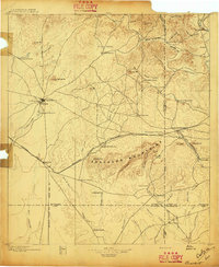
1896 · Brackett
USGS Topo · 1:125,000
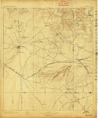
1897 · Brackett
USGS Topo · 1:125,000
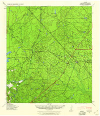
1940 · Paloma
USGS Topo · 1:62,500
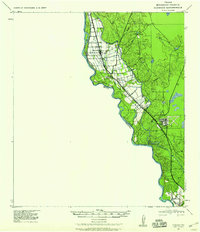
1940 · Quemado
USGS Topo · 1:62,500
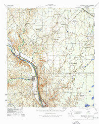
1941 · Tequesquite Creek
USGS Topo · 1:62,500
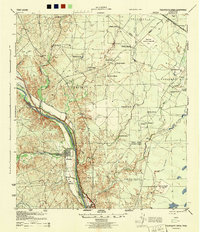
1944 · Tequesquite Creek
USGS Topo · 1:62,500
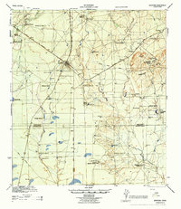
1944 · Spofford
USGS Topo · 1:62,500
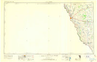
1958 · Eagle Pass
USGS Topo · 1:250,000
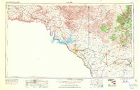
1958 · Del Rio
USGS Topo · 1:250,000
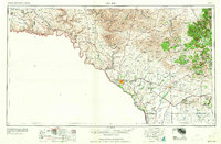
1964 · Del Rio
USGS Topo · 1:250,000