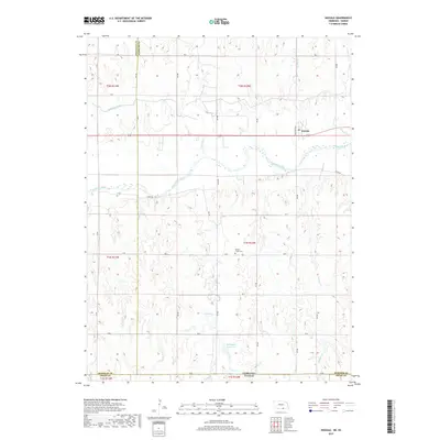
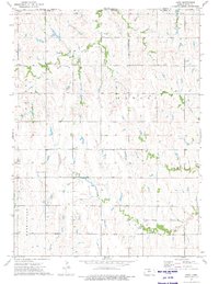
2017 Map of Inavale
USGS Topo · Published 2017About this map
Inavale stands as the primary settlement on this Nebraska landscape, situated near the intersection of Michigan Ave and the regional highway. The terrain is defined by the complex agricultural drainage systems and rural infrastructure spanning the border between Webster and Franklin counties. Water management is a central theme, evidenced by the Franklin Canal in the northwest and the Talkington Reservoir further south, highlighting the engineering required to sustain local farming. Genealogists will find the Walnut Creek Cem located centrally in township T1N R12W, a key landmark for tracing family history in the area. The map also delineates the state boundary where Nebraska and Kansas meet, showing the transition of section lines and rural routes like 44 Rd and River Rd across the state line.
Find a feature on this map
23 named features on this map. Tap any name to fly to it.
Don’t see what you’re looking for? This feature index may not catch every label — zoom into the map to look around manually.
Map Details
Editions of this 2017 Inavale Map
This is the sole edition of this map. No revisions or reprints were ever made.
Other maps of this area
1893 · Smith Center
USGS Topo · 1:125,000
1897 · Red Cloud
USGS Topo · 1:125,000
1940 · Red Cloud
USGS Topo · 1:62,500
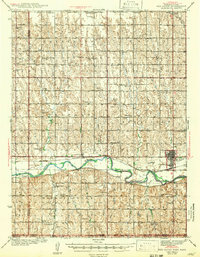
1942 · Red Cloud
USGS Topo · 1:62,500
1955 · Grand Island
USGS Topo · 1:250,000

1955 · Beloit
USGS Topo · 1:250,000
1957 · Grand Island
USGS Topo · 1:250,000
1958 · Grand Island
USGS Topo · 1:250,000

1959 · Beloit
USGS Topo · 1:250,000
1973 · Cora
USGS Topo · 1:24,000