2022 Map of Independence
USGS Topo · Published 2022About this map
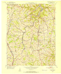
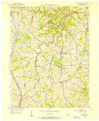
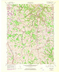
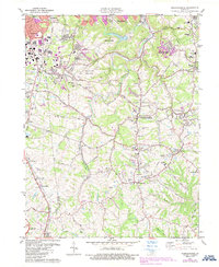
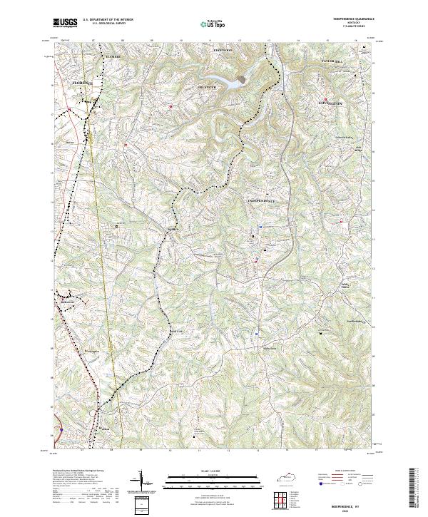
Independence and its surrounding Northern Kentucky communities are captured in this recent survey, showing the intricate suburban development patterns that define the modern Kenton Co and Boone Co border. The landscape is marked by the deep winding valleys of Banklick Creek and Bullock Pen Creek, which have historically dictated the placement of early settlements and transport routes. While much of the area has transitioned into residential neighborhoods in Florence, Erlanger, and Elsmere, the map preserves many older cultural landmarks. Genealogists will find several burial grounds, including Cruises Creek Baptist Church Cem in the south and Saint Cecilias Cem near the heart of town. The presence of the Caintuckee Airport and various pike roads like Madison Pike and Taylor Mill Rd illustrates the area's continued reliance on a complex network of ridge-top and valley-floor thoroughfares.
Find a feature on this map
66 named features on this map. Tap any name to fly to it.
Don’t see what you’re looking for? This feature index may not catch every label — zoom into the map to look around manually.
Map Details
Editions of this 2022 Independence Map
This is the sole edition of this map. No revisions or reprints were ever made.
Historical Maps of Kensington Through Time
5 maps found