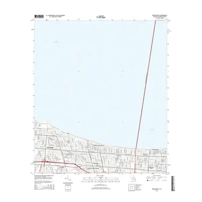
2015 Map of Indian Beach
USGS Topo · Published 2015About this map
Lake Pontchartrain dominates the northern half of this 2015 survey, defining the shoreline and suburban development of Jefferson Parish. The southern landscape is densely urbanized, featuring a grid of residential neighborhoods including Bissonet Plaza, Willowdale, and Pontchartrain Shores. These communities are bound by a complex infrastructure of canals and major thoroughfares, most notably the Lake Pontchartrain Causeway striking across the water and Veterans Blvd bisecting the residential districts.
Find a feature on this map
24 named features on this map. Tap any name to fly to it.
Don’t see what you’re looking for? This feature index may not catch every label — zoom into the map to look around manually.
Map Details
Editions of this 2015 Indian Beach Map
This is the sole edition of this map. No revisions or reprints were ever made.
Other maps of this area

1891 · Hahnville
USGS Topo · 1:62,500

1891 · Spanish Fort
USGS Topo · 1:62,500

1891 · New Orleans
USGS Topo · 1:62,500

1892 · Bonnet Carre
USGS Topo · 1:62,500

1932 · New Orleans NE
USGS Topo · 1:31,680

1932 · New Orleans NW
USGS Topo · 1:31,680

1932 · Hahnville NE
USGS Topo · 1:31,680

1935 · Luling
USGS Topo · 1:31,680

1936 · Bonnet Carre
USGS Topo · 1:62,500

1936 · Spanish Fort
USGS Topo · 1:62,500