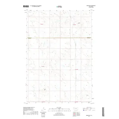
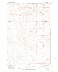
2017 Map of Indian Butte
USGS Topo · Published 2017About this map
Indian Butte and the surrounding high plains of Butte County and Harding Co are defined by a complex network of seasonal drainages and prominent landforms. The S Fork Moreau River cuts through the northern landscape, joined by its tributaries including Fourmile Cr and Crooked Cr. The small settlement of Gustave sits near the base of Gustave Butte in the northeast, serving as a rare point of habitation in this expansive ranching country.
Find a feature on this map
17 named features on this map. Tap any name to fly to it.
Don’t see what you’re looking for? This feature index may not catch every label — zoom into the map to look around manually.
Map Details
Editions of this 2017 Indian Butte Map
This is the sole edition of this map. No revisions or reprints were ever made.
Other maps of this area
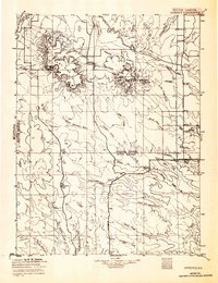
1935 · Harding
USGS Topo · 1:125,000

1954 · Lemmon
USGS Topo · 1:250,000

1954 · Ekalaka
USGS Topo · 1:250,000

1956 · Ekalaka
USGS Topo · 1:250,000

1957 · Lemmon
USGS Topo · 1:250,000

1958 · Ekalaka
USGS Topo · 1:250,000

1965 · Ekalaka
USGS Topo · 1:250,000
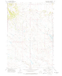
1973 · Hells Canyon
USGS Topo · 1:24,000
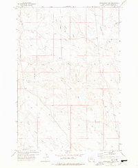
1977 · Greasewood Draw
USGS Topo · 1:24,000
1978 · Indian Butte
USGS Topo · 1:24,000