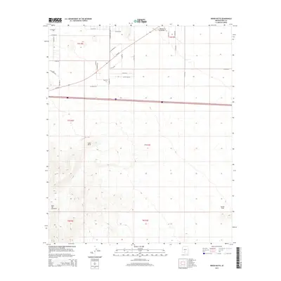
2014 Map of Indian Butte
USGS Topo · Published 2014About this map
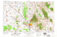
Indian Butte rises above a desert landscape where the Pinal County grid meets the high terrain of the Table Top Mountains to the southwest. In this 2014 survey, the settlement of Peters Corner serves as a primary reference point in the north, situated near the S Canal. The map reveals a transition from the agricultural and residential road networks of the northern flats—defined by thoroughfares like W Selma Hwy and W Az-84—to the more isolated peaks of the south. This area demonstrates the intersection of modern infrastructure and traditional land divisions, as seen in the various township and range boundaries like t7s r3e. To the southeast, the prominent Needle Peak stands as a distinct landmark, marking the edge of the more rugged topography that characterizes this portion of the Sif Oidak District.
Find a feature on this map
36 named features on this map. Tap any name to fly to it.
Don’t see what you’re looking for? This feature index may not catch every label — zoom into the map to look around manually.
Map Details
Editions of this 2014 Indian Butte Map
This is the sole edition of this map. No revisions or reprints were ever made.
Other maps of this area
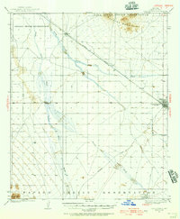
1922 · Casa Grande
USGS Topo · 1:62,500
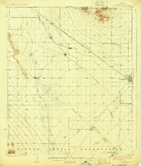
1924 · Casa Grande
USGS Topo · 1:62,500
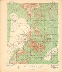
1941 · Vekol Mountains
USGS Topo · 1:62,500
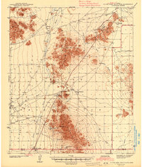
1942 · Silver Reef Mountains
USGS Topo · 1:62,500
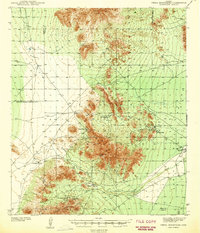
1942 · Vekol Mountains
USGS Topo · 1:62,500
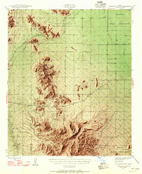
1946 · Antelope Peak
USGS Topo · 1:62,500
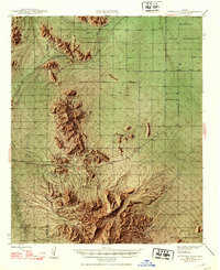
1948 · Antelope Peak
USGS Topo · 1:62,500

1953 · Ajo
USGS Topo · 1:250,000
1956 · Tucson
USGS Topo · 1:250,000

1957 · Ajo
USGS Topo · 1:250,000