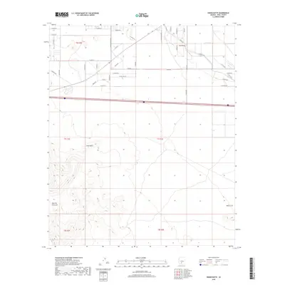
2018 Map of Indian Butte
USGS Topo · Published 2018About this map
The Indian Butte landform and the eastern extent of the Table Top Mountains dominate the southern half of this landscape, where the Sonoran desert terrain transitions into a organized grid of rural development. Agricultural and residential life is concentrated in the north, defined by a dense network of roads named for local flora and geographic features, such as Jojoba Fields and W Selma Hwy. The presence of the S John Wayne Pkwy running north-south provides a primary artery for the region, while secondary routes like S Amarillo Valley Rd and W Agate Rd serve the surrounding flats. In the southeast, the isolated prominence of Needle Peak stands as a distinct landmark against the alluvial plains. This survey documents the intersection of natural desert topography with the systematic expansion of Pinal County's road system during the early 21st century.
Find a feature on this map
43 named features on this map. Tap any name to fly to it.
Don’t see what you’re looking for? This feature index may not catch every label — zoom into the map to look around manually.
Map Details
Editions of this 2018 Indian Butte Map
This is the sole edition of this map. No revisions or reprints were ever made.
Other maps of this area
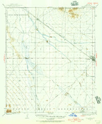
1922 · Casa Grande
USGS Topo · 1:62,500
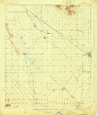
1924 · Casa Grande
USGS Topo · 1:62,500
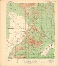
1941 · Vekol Mountains
USGS Topo · 1:62,500
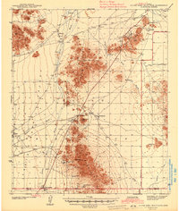
1942 · Silver Reef Mountains
USGS Topo · 1:62,500
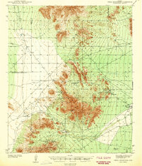
1942 · Vekol Mountains
USGS Topo · 1:62,500
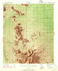
1946 · Antelope Peak
USGS Topo · 1:62,500
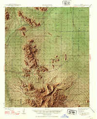
1948 · Antelope Peak
USGS Topo · 1:62,500

1953 · Ajo
USGS Topo · 1:250,000
1956 · Tucson
USGS Topo · 1:250,000

1957 · Ajo
USGS Topo · 1:250,000