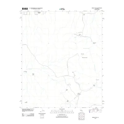
2012 Map of Indian Cove
USGS Topo · Published 2012About this map
Keys Ranch and the Wall Street Mill serve as focal points for the desert history documented in this 2012 survey of the northern Mojave. This landscape is defined by its dramatic geological and hydrological features, where the Wonderland of Rocks gives way to expansive basins like Queen Valley and Lost Horse Valley. The map detail shows how seasonal drainage systems like Quail Wash and Wonderland Ranch Wash dictate the natural corridors of the region.
Find a feature on this map
32 named features on this map. Tap any name to fly to it.
Don’t see what you’re looking for? This feature index may not catch every label — zoom into the map to look around manually.
Map Details
Editions of this 2012 Indian Cove Map
This is the sole edition of this map. No revisions or reprints were ever made.
Other maps of this area

1941 · Edom
USGS Topo · 1:62,500

1944 · Edom
USGS Topo · 1:62,500

1944 · Pinyon Well
USGS Topo · 1:62,500

1947 · Santa Ana
USGS Topo · 1:250,000

1949 · Santa Ana
USGS Topo · 1:250,000

1953 · San Bernardino
USGS Topo · 1:250,000

1955 · Twentynine Palms
USGS Topo · 1:24,000

1955 · Twentynine Palms
USGS Topo · 1:62,500

1955 · Joshua Tree
USGS Topo · 1:62,500

1956 · San Bernardino
USGS Topo · 1:250,000
Featured Places
- Twentynine Palms, CA
- Joshua Tree, CA
- Panorama Heights, CA
- San Bernardino County, CA
- Riverside County, CA