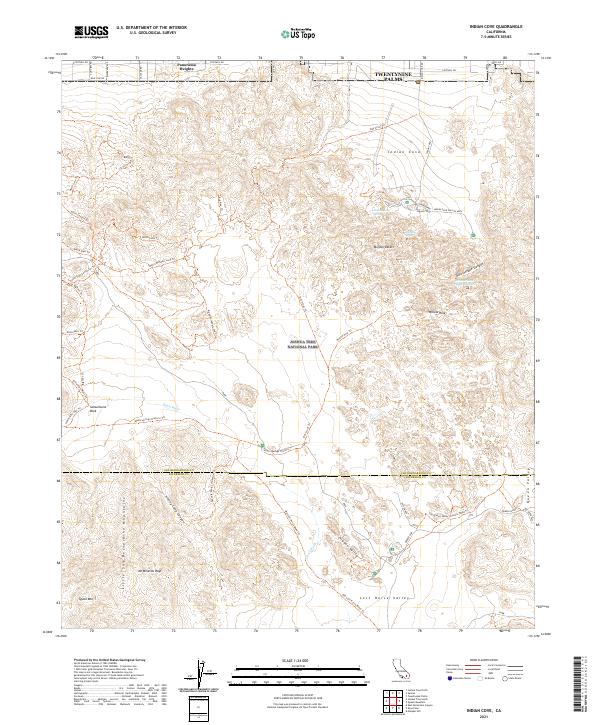
2021 Map of Indian Cove
USGS Topo · Published 2021About this map
Joshua Tree National Park dominates this desert landscape, where the Mojave Desert meets the Little San Bernardino Mountains. This modern topographical study details a transition from the urban fringes of Twentynine Palms and Panorama Heights into a rugged interior of high peaks and secluded valleys. Landmarks like Keys Ranch and Barker Dam indicate the historical agricultural and ranching efforts in this arid environment, while summits such as Quail Mtn and Mt Minerva Hoyt provide significant elevation markers. The map reveals an intricate network of historical routes and hiking paths, including the Quail Springs Historic Trl and Old Queen Valley Historic Road Trl. These pathways connect geographically distinct areas like Hidden Valley, Lost Horse Valley, and Queen Valley, alongside vital water sources such as Snakeeye Spring and Johnson Spring.
Find a feature on this map
54 named features on this map. Tap any name to fly to it.
Don’t see what you’re looking for? This feature index may not catch every label — zoom into the map to look around manually.
Map Details
Editions of this 2021 Indian Cove Map
This is the sole edition of this map. No revisions or reprints were ever made.
Other maps of this area

1941 · Edom
USGS Topo · 1:62,500

1944 · Edom
USGS Topo · 1:62,500

1944 · Pinyon Well
USGS Topo · 1:62,500

1947 · Santa Ana
USGS Topo · 1:250,000

1949 · Santa Ana
USGS Topo · 1:250,000

1953 · San Bernardino
USGS Topo · 1:250,000

1955 · Twentynine Palms
USGS Topo · 1:24,000

1955 · Twentynine Palms
USGS Topo · 1:62,500

1955 · Joshua Tree
USGS Topo · 1:62,500

1956 · San Bernardino
USGS Topo · 1:250,000
Featured Places
- Twentynine Palms, CA
- Panorama Heights, CA
- Joshua Tree, CA
- San Bernardino County, CA
- Riverside County, CA