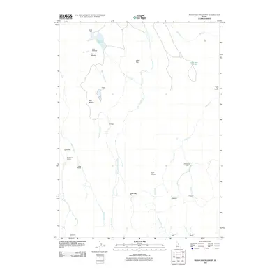
2010 Map of Indian Hay Meadows
USGS Topo · Published 2010About this map
Dew Drop Place and Johnstons Camp sit within a landscape of high desert drainage in Owyhee County, defined by the complex branching of Bull Creek, Sheep Creek, and Meadow Creek. This 2010 survey shows the remote cattle-ranching and range management infrastructure typical of southwestern Idaho, featuring named landmarks such as Goat Pens and Tindall Water Hole Two. Water management is central to this environment, illustrated by the Buckhorn Reservoir at the northern edge and smaller impoundments like the Tindall Dam. The terrain is marked by distinctive topographical features including the prominence of China Hat and the grazing lands of Buck Pasture and Indian Hay Meadows. Scattered agricultural or landing strips like Krutschmer Field and Wagner Field suggest the scale of operations in this high-elevation basin near the Nevada border.
Find a feature on this map
29 named features on this map. Tap any name to fly to it.
Don’t see what you’re looking for? This feature index may not catch every label — zoom into the map to look around manually.
Map Details
Editions of this 2010 Indian Hay Meadows Map
This is the sole edition of this map. No revisions or reprints were ever made.
Other maps of this area
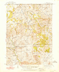
1936 · Mountain City
USGS Topo · 1:62,500
1939 · Owyhee
USGS Topo · 1:62,500
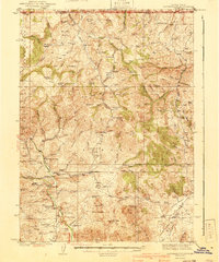
1940 · Mountain City
USGS Topo · 1:62,500
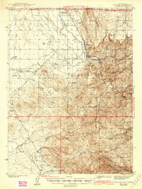
1942 · Owyhee
USGS Topo · 1:62,500

1955 · McDermitt
USGS Topo · 1:250,000

1955 · Jordan Valley
USGS Topo · 1:250,000

1955 · Twin Falls
USGS Topo · 1:250,000

1955 · Wells
USGS Topo · 1:250,000

1957 · Jordan Valley
USGS Topo · 1:250,000

1958 · Wells
USGS Topo · 1:250,000