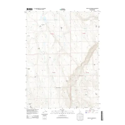
2013 Map of Indian Hay Meadows
USGS Topo · Published 2013About this map
Indian Hay Meadows sits at the heart of this Owyhee County landscape, where the high desert terrain is punctuated by isolated water sources and seasonal fields. The geography is defined by a series of meadows and named clearings such as Fork Meadow, Wids Meadow, and Krutschmer Field, which suggest a long history of cattle or sheep ranching. This is further evidenced by functional labels like Goat Pens and Johnstons Camp near the J-P Desert.
Find a feature on this map
40 named features on this map. Tap any name to fly to it.
Don’t see what you’re looking for? This feature index may not catch every label — zoom into the map to look around manually.
Map Details
Editions of this 2013 Indian Hay Meadows Map
This is the sole edition of this map. No revisions or reprints were ever made.
Other maps of this area
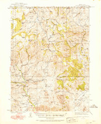
1936 · Mountain City
USGS Topo · 1:62,500
1939 · Owyhee
USGS Topo · 1:62,500
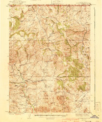
1940 · Mountain City
USGS Topo · 1:62,500
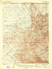
1942 · Owyhee
USGS Topo · 1:62,500

1955 · McDermitt
USGS Topo · 1:250,000

1955 · Jordan Valley
USGS Topo · 1:250,000

1955 · Twin Falls
USGS Topo · 1:250,000

1955 · Wells
USGS Topo · 1:250,000

1957 · Jordan Valley
USGS Topo · 1:250,000

1958 · Wells
USGS Topo · 1:250,000