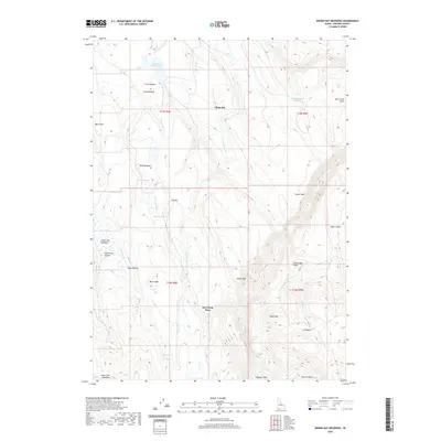
2020 Map of Indian Hay Meadows
USGS Topo · Published 2020About this map
Dew Drop Place and Wagner Field are isolated settlements within this high-elevation landscape of Owyhee County. The terrain is a complex network of seasonal drainages and meadowlands, including the namesake Indian Hay Meadows and State Line Meadows along the Idaho border. Water management is central to the area's utility, marked by Buckhorn Reservoir and numerous springs like Parker Spring and Martin Spring that feed into the various forks of Bull Creek.
Find a feature on this map
38 named features on this map. Tap any name to fly to it.
Don’t see what you’re looking for? This feature index may not catch every label — zoom into the map to look around manually.
Map Details
Editions of this 2020 Indian Hay Meadows Map
This is the sole edition of this map. No revisions or reprints were ever made.
Other maps of this area
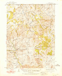
1936 · Mountain City
USGS Topo · 1:62,500
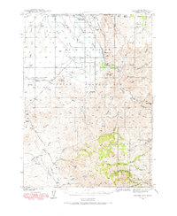
1939 · Owyhee
USGS Topo · 1:62,500
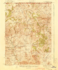
1940 · Mountain City
USGS Topo · 1:62,500
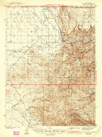
1942 · Owyhee
USGS Topo · 1:62,500

1955 · McDermitt
USGS Topo · 1:250,000

1955 · Jordan Valley
USGS Topo · 1:250,000

1955 · Twin Falls
USGS Topo · 1:250,000

1955 · Wells
USGS Topo · 1:250,000

1957 · Jordan Valley
USGS Topo · 1:250,000

1958 · Wells
USGS Topo · 1:250,000