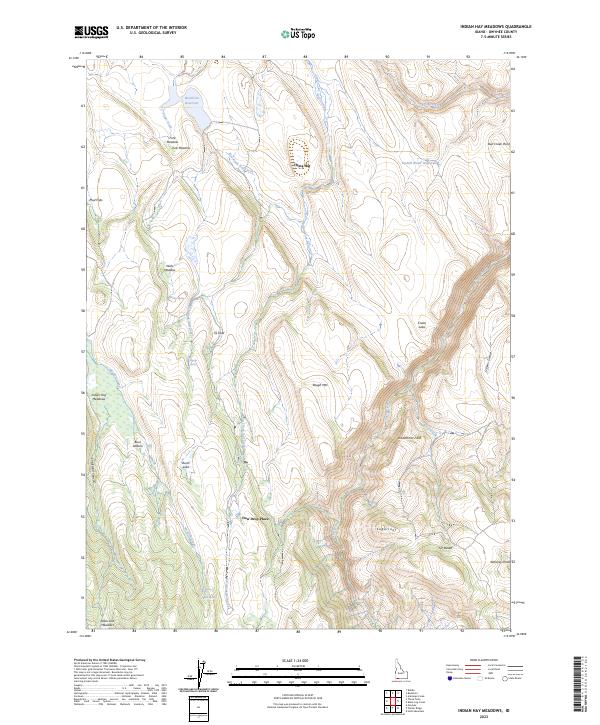
2023 Map of Indian Hay Meadows
USGS Topo · Published 2023About this map
Indian Hay Meadows serves as a central landmark in this high-desert Owyhee County landscape, where water sources dictate the placement of seasonal camps and grazing pastures. The geography is punctuated by distinct volcanic and erosional formations such as China Hat, Sugarloaf, and Bull Creek Point, which overlook a network of seasonal drainages. Local nomenclature reveals a history of specific land use, with areas like Dew Drop Place and SS Field appearing alongside established grazing grounds like Buck Pasture. Reliable water is scarce, marked by Buckhorn Reservoir, Tindall Water Hole Two, and scattered springs including Martin Spring and Parker Spring. To the southeast, the terrain shifts into the expansive J-P Desert, while the southern reaches descend toward State Line Meadows near the border, highlighting the transition from high-plateau meadows to more arid canyonlands.
Find a feature on this map
36 named features on this map. Tap any name to fly to it.
Don’t see what you’re looking for? This feature index may not catch every label — zoom into the map to look around manually.
Map Details
Editions of this 2023 Indian Hay Meadows Map
This is the sole edition of this map. No revisions or reprints were ever made.
Other maps of this area

1936 · Mountain City
USGS Topo · 1:62,500

1939 · Owyhee
USGS Topo · 1:62,500

1940 · Mountain City
USGS Topo · 1:62,500

1942 · Owyhee
USGS Topo · 1:62,500

1955 · McDermitt
USGS Topo · 1:250,000

1955 · Jordan Valley
USGS Topo · 1:250,000

1955 · Twin Falls
USGS Topo · 1:250,000

1955 · Wells
USGS Topo · 1:250,000

1957 · Jordan Valley
USGS Topo · 1:250,000

1958 · Wells
USGS Topo · 1:250,000