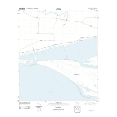
2012 Map of Indian Pass
USGS Topo · Published 2012About this map
Indian Pass and the surrounding coastal landscape of Gulf County are defined by the intricate relationship between the mainland and the barrier islands of the Florida Panhandle. The settlement of Odena sits just inland, north of where Depot Cr flows toward Odena Landing. To the south, the protected waters of Saint Vincent Sound and Indian Lagoon separate the mainland from the prominent Indian Peninsula and the expansive Saint Vincent Island. This map documents a region characterized by small distance-named settlements like Thirteen Mile and Eleven Mile along the coastal corridor. Notable landmarks include the Odena Fire Tower and secluded water bodies on the island such as Oyster Pond and Lake Number Five. The network of local roads, including the Old Apalachicola Hwy, provides a look at the infrastructure supporting this maritime environment.
Find a feature on this map
19 named features on this map. Tap any name to fly to it.
Don’t see what you’re looking for? This feature index may not catch every label — zoom into the map to look around manually.
Map Details
Editions of this 2012 Indian Pass Map
This is the sole edition of this map. No revisions or reprints were ever made.
Other maps of this area

1943 · Port St. Joe
USGS Topo · 1:31,680

1943 · Cape San Blas
USGS Topo · 1:31,680

1943 · West Pass
USGS Topo · 1:31,680

1943 · Indian Pass
USGS Topo · 1:24,000

1943 · Jackson River
USGS Topo · 1:24,000

1945 · Cape St. George
USGS Topo · 1:31,680

1945 · Lake Wimico
USGS Topo · 1:31,680

1945 · Jackson River
USGS Topo · 1:31,680

1945 · Indian Pass
USGS Topo · 1:31,680

1949 · Apalachicola
USGS Topo · 1:250,000