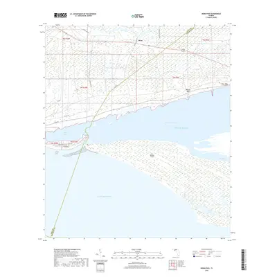
2018 Map of Indian Pass
USGS Topo · Published 2018About this map
Saint Vincent Island dominates the southeastern portion of this coastal landscape, separated from the mainland by the waters of Saint Vincent Sound and the narrow corridor of Indian Pass. This survey illustrates the intricate interface between the Gulf of Mexico and the marshy coastal reaches of Gulf County. On the mainland, small settlements such as Odena and Eleven Mile are positioned along the transit corridors of the coastal interior, while Indian Peninsula stretches westward to enclose the Indian Lagoon. The island interior is marked by significant hydrological features including Oyster Pond, Big Bayou, and Lake Number Five, indicating a complex wetland ecosystem. Narrow local roads like Old Shell Rd and Jones Homestead Rd provide access to the rural shoreline, tracing the limits of the Florida panhandle's salt marshes and tidal flats.
Find a feature on this map
29 named features on this map. Tap any name to fly to it.
Don’t see what you’re looking for? This feature index may not catch every label — zoom into the map to look around manually.
Map Details
Editions of this 2018 Indian Pass Map
This is the sole edition of this map. No revisions or reprints were ever made.
Other maps of this area
1943 · Port St. Joe
USGS Topo · 1:31,680
1943 · Cape San Blas
USGS Topo · 1:31,680
1943 · West Pass
USGS Topo · 1:31,680
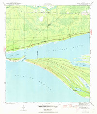
1943 · Indian Pass
USGS Topo · 1:24,000
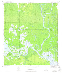
1943 · Jackson River
USGS Topo · 1:24,000
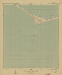
1945 · Cape St. George
USGS Topo · 1:31,680
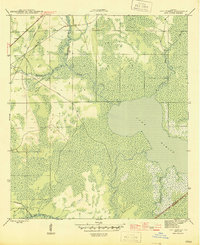
1945 · Lake Wimico
USGS Topo · 1:31,680
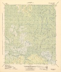
1945 · Jackson River
USGS Topo · 1:31,680
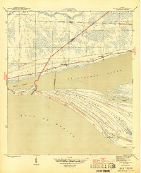
1945 · Indian Pass
USGS Topo · 1:31,680
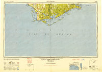
1949 · Apalachicola
USGS Topo · 1:250,000