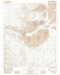
1983 Map of Indian Spring
USGS Topo · Published 1986About this map
Lava flows and volcanic formations dominate this high-desert terrain within the Mojave, as recorded in the early 1980s. A prominent Cinder Cone rises above extensive Lava Beds, illustrating the region's intense geologic activity. Water sources in this arid environment are sparse, marked primarily by Cane Spring and Indian Spring, along with seasonal drainages like Indian Creek, Willow Wash, and Black Wash.
Find a feature on this map
19 named features on this map. Tap any name to fly to it.
Don’t see what you’re looking for? This feature index may not catch every label — zoom into the map to look around manually.
Map Details
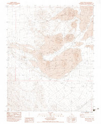
Editions of this 1983 Indian Spring Map
2 editions found
Other maps of this area

1910 · Ivanpah
USGS Topo · 1:250,000

1912 · Ivanpah
USGS Topo · 1:250,000

1942 · Ivanpah
USGS Topo · 1:250,000

1947 · Kingman
USGS Topo · 1:250,000

1948 · Kingman
USGS Topo · 1:250,000

1954 · Kingman
USGS Topo · 1:250,000

1955 · Kingman
USGS Topo · 1:250,000

1955 · Mescal Range
USGS Topo · 1:62,500

1955 · Kelso
USGS Topo · 1:62,500

1956 · Halloran Spring
USGS Topo · 1:62,500