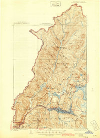
1927 Map of Indian Stream
USGS Topo · Published 1946About this map
Lake Francis and the meandering headwaters of the Indian Stream define this northernmost reach of New England along the Canada United States border. Surveyed in the mid-1920s, the landscape is a network of logging camps and remote watercourses, including Greeley Camp, Depot Camp, and Klondyke Camp. The mapping of the Kim Day Dam and numerous schools like Indian Stream School, Wheeler School, and Stinton School reflects a period of localized rural infrastructure and industry before modern consolidation. Significant terrain features such as Shatney Mountain and Cowen Hill rise above a dense drainage basin where Back Lake and the First Connecticut Lake anchor the eastern and southern edges of the quadrangle. The presence of the Clarksville Town Hall and the small settlement at Pittsburg provide touchstones for genealogists tracing families in this isolated timber and borderland region during the early twentieth century.
Find a feature on this map
75 named features on this map. Tap any name to fly to it.
Don’t see what you’re looking for? This feature index may not catch every label — zoom into the map to look around manually.
Map Details
Editions of this 1927 Indian Stream Map
5 editions found
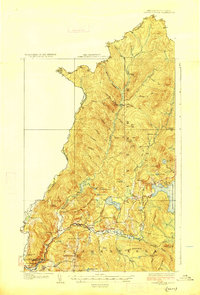
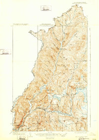
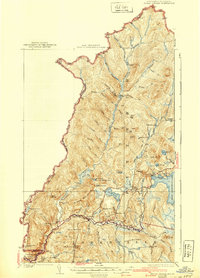
Other maps of this area

1925 · Indian Stream
USGS Topo · 1:48,000

1926 · Indian Stream
USGS Topo · 1:62,500

1927 · Indian Stream
USGS Topo · 1:62,500

1927 · Moose Bog
USGS Topo · 1:48,000

1927 · Second Lake
USGS Topo · 1:62,500

1929 · Averill
USGS Topo · 1:62,500

1930 · Dixville
USGS Topo · 1:62,500

1930 · Errol
USGS Topo · 1:62,500

1931 · Moose Bog
USGS Topo · 1:62,500

1932 · Second Lake
USGS Topo · 1:62,500