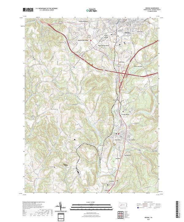
2023 Map of Indiana
USGS Topo · Published 2023About this map
Indiana serves as the regional hub in this part of western Pennsylvania, where the Indiana University of Pennsylvania campus and the historic County Courthouse anchor the town center. The landscape south of the city is defined by its industrial and mining history, notably at Lucerne Mines and the rail corridors of the Indiana County Railroad. The terrain is deeply dissected by several significant waterways, including Two Lick Creek and its various tributaries such as Yellow Creek and Tearing Run.
Find a feature on this map
156 named features on this map. Tap any name to fly to it.
Don’t see what you’re looking for? This feature index may not catch every label — zoom into the map to look around manually.
Map Details
Editions of this 2023 Indiana Map
This is the sole edition of this map. No revisions or reprints were ever made.
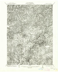
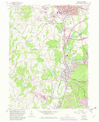
Historical Maps of Armstrong Township Through Time
4 maps found