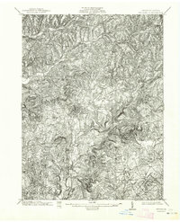
1902 Map of Indiana
USGS Topo · Published 1964About this map
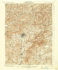
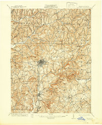
Indiana serves as the central hub of this turn-of-the-century landscape, appearing as a developed grid at the intersection of several critical transport routes. The industrial character of the region is defined by the Pennsylvania R R and the Indiana Branch, which snake through the valleys to serve outlying communities like Graceton and Homer. These rail lines follow the natural contours of the land, carved out by Two Lick Creek and its many tributaries.
Find a feature on this map
31 named features on this map. Tap any name to fly to it.
Don’t see what you’re looking for? This feature index may not catch every label — zoom into the map to look around manually.
Map Details
Editions of this 1902 Indiana Map
8 editions found
Other maps of this area

1900 · Latrobe
USGS Topo · 1:62,500

1901 · Rural Valley
USGS Topo · 1:62,500

1902 · Latrobe
USGS Topo · 1:62,500

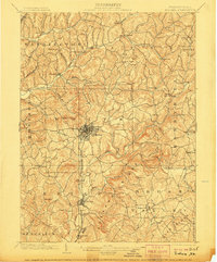
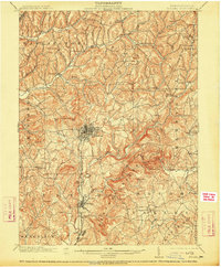
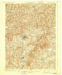
1902 · Indiana
USGS Topo · 1:62,500

1902 · Barnesboro
USGS Topo · 1:62,500

1902 · Elders Ridge
USGS Topo · 1:62,500

1903 · Rural Valley
USGS Topo · 1:62,500

1903 · Latrobe
USGS Topo · 1:62,500

1904 · Barnesboro
USGS Topo · 1:62,500

1904 · Elders Ridge
USGS Topo · 1:62,500