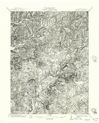
1902 Map of Indiana
USGS Topo · Published 1944About this map
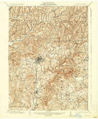
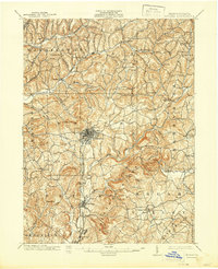
Indiana serves as the focal point of this western Pennsylvania landscape at the opening of the twentieth century. The town is depicted with a detailed street grid, surrounded by the smaller settlements of Reed, Horner, and Graceton. Transportation throughout the county relies heavily on the Pennsylvania RR and its Indiana Branch, which follow the winding valleys to navigate the dissected plateau. The terrain is characterized by a dense network of watercourses, including the notable Two Lick Creek and Crooked Creek, which have carved deep valleys between high points like Evans Hill and Rays Peak. Local spiritual and community life is anchored by landmarks such as Grove Chapel, while the surrounding townships of White, Center, and Brush Valley show the transition from concentrated village centers to the dispersed farmsteads of the rural interior. This survey captures the region just as industrial rail expansion was solidifying the connections between these valley settlements.
Find a feature on this map
31 named features on this map. Tap any name to fly to it.
Don’t see what you’re looking for? This feature index may not catch every label — zoom into the map to look around manually.
Map Details
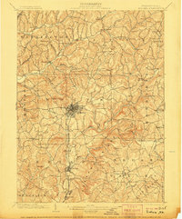
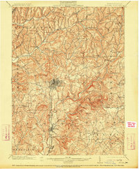
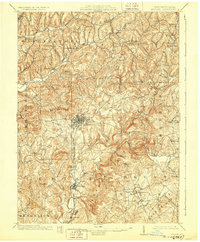
Editions of this 1902 Indiana Map
8 editions found
Other maps of this area

1900 · Latrobe
USGS Topo · 1:62,500

1901 · Rural Valley
USGS Topo · 1:62,500

1902 · Latrobe
USGS Topo · 1:62,500

1902 · Indiana
USGS Topo · 1:62,500

1902 · Barnesboro
USGS Topo · 1:62,500

1902 · Elders Ridge
USGS Topo · 1:62,500

1903 · Rural Valley
USGS Topo · 1:62,500

1903 · Latrobe
USGS Topo · 1:62,500

1904 · Barnesboro
USGS Topo · 1:62,500

1904 · Elders Ridge
USGS Topo · 1:62,500