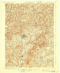
1902 Map of Indiana
USGS Topo · Published 1928About this map
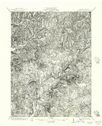
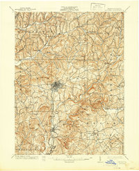
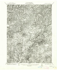
The town of Indiana serves as the central hub for this early twentieth-century survey of Indiana County, Pennsylvania. The landscape is defined by the winding paths of Two Lick Creek and Yellow Creek, with a dense network of small communities like Homer, Dixonville, and Graceton illustrating the region's early residential and industrial development. Local transit and commerce are dictated by the Pennsylvania R R and its Indiana Branch, which link these valley settlements. Away from the rail corridors, the terrain rises into prominent landmarks such as Kunkle Hill and Moose Hill. Genealogy researchers will find numerous rural focal points, including Grove Chapel, Mechanicsburg, and Chambersville. The map's detailed topography reveals how the deep drainage of runs like Rayne Run and Cherry Run historically shaped the placement of roads and farmsteads across the townships of Rayne, White, and Cherryhill.
Find a feature on this map
65 named features on this map. Tap any name to fly to it.
Don’t see what you’re looking for? This feature index may not catch every label — zoom into the map to look around manually.
Map Details
Editions of this 1902 Indiana Map
8 editions found
Other maps of this area

1900 · Latrobe
USGS Topo · 1:62,500

1901 · Rural Valley
USGS Topo · 1:62,500

1902 · Latrobe
USGS Topo · 1:62,500

1902 · Indiana
USGS Topo · 1:62,500

1902 · Barnesboro
USGS Topo · 1:62,500

1902 · Elders Ridge
USGS Topo · 1:62,500

1903 · Rural Valley
USGS Topo · 1:62,500

1903 · Latrobe
USGS Topo · 1:62,500

1904 · Barnesboro
USGS Topo · 1:62,500

1904 · Elders Ridge
USGS Topo · 1:62,500