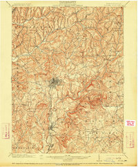
1902 Map of Indiana
USGS Topo · Published 1914About this map
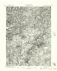
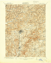
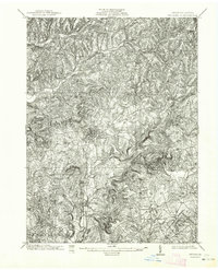
The borough of Indiana serves as the central hub for this early 20th-century landscape, characterized by a complex network of stream valleys and rising ridge lines. Surveyed at the dawn of the century, the map reveals a region defined by its rail connections and small, dispersed settlements. The Indiana Branch of the Pennsylvania railroad cuts through the terrain, linking the county seat to outlying industrial and agricultural pockets like Homer and Graceton.
Find a feature on this map
67 named features on this map. Tap any name to fly to it.
Don’t see what you’re looking for? This feature index may not catch every label — zoom into the map to look around manually.
Map Details
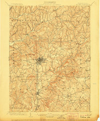
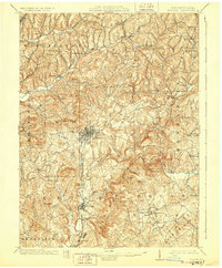
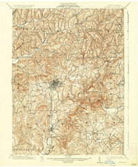
Editions of this 1902 Indiana Map
8 editions found
Other maps of this area

1900 · Latrobe
USGS Topo · 1:62,500

1901 · Rural Valley
USGS Topo · 1:62,500

1902 · Latrobe
USGS Topo · 1:62,500

1902 · Indiana
USGS Topo · 1:62,500

1902 · Barnesboro
USGS Topo · 1:62,500

1902 · Elders Ridge
USGS Topo · 1:62,500

1903 · Rural Valley
USGS Topo · 1:62,500

1903 · Latrobe
USGS Topo · 1:62,500

1904 · Barnesboro
USGS Topo · 1:62,500

1904 · Elders Ridge
USGS Topo · 1:62,500